You will receive the confirmation of your demo by email. Meanwhile you can have a look at the following resources which should be of your interest.
New to the CARTO Platform? In this post, we’ll run through the first five things you should try.
Everything you need to know about Spatial Indexes! What they are, and why you should be using them.
Spatial Data Science is a subset of Data Science that focuses on the special characteristics of spatial data, using modeling to know where & why things happen. Learn about key use cases and more.
Download our ebook covering spatial modeling, clustering, logistics optimization, and more to start turning you and your Data Science team into spatial experts.
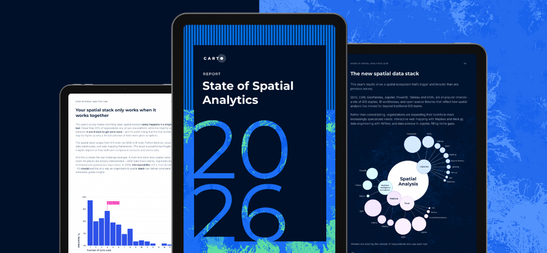
Only 1 in 3 Data Scientists have expertise in spatial. We asked 100s of enterprise organizations across the globe about the future of Data Science & GIS in their organizations. Gain new insights on the status quo and explore what we can expect in our 2020 report.
If you are analyzing very large datasets with millions or billions of points, or GB of geographies then the BigQuery Tiler provides the only solution to visualize large location datasets without having to move data outside BigQuery.
A complete CARTO module is now available as part of the deck.gl framework. This means developers can easily use CARTO APIs when building apps using the deck.gl framework.
Connect to your favorite services so you can do more with your data. Find the software you already use and create a smooth experience across your channels.
Browse our Spatial Data Catalog to discover thousands of public & premium datasets to enrich your data. Discover how the Data Observatory enables Data Scientists, Analysts & Developers to save time on gathering & cleaning data.
CARTO's Direct SQL Connection allows you to bring your CARTO data to other tools you already use, such as QGIS, Databricks, PowerBI, and more—securely connecting to your CARTO database from any application that supports PostgreSQL as a data source.
In our continuous efforts to make sure CARTO works well with other technologies, we’re always assessing how we can improve our customers’ workflows so that they can easily interact with CARTO from other applications and platforms they already use.
CARTOframes is a Python package that allows data scientists to seamlessly integrate CARTO maps, data, and analysis into their current environment, and spend less time gathering and cleaning their data.
QGIS is the most widely used desktop GIS application in the open source space and with the new Direct SQL Connection, users can access CARTO’s database from QGIS using a regular PostGIS connection.
Read CARTO's thoughts on Mapbox's JS library going from an Open Source BSD license to a proprietary one.
Only 1 in 3 Data Scientists have expertise in spatial. We asked 100s of enterprise organizations across the globe about the future of Data Science & GIS in their organizations. Gain new insights on the status quo and explore what we can expect in our 2020 report.
Download our ebook covering spatial modeling, clustering, logistics optimization, and more to start turning you and your Data Science team into spatial experts.