Back to glossary

Spatial Data

Table of Contents

Spatial data, also known as geospatial data or location data, is any data that has a geographic component. It connects information to a specific location on the Earth, such as a street address, a set of coordinates, or even a specific administrative boundary. This type of data can be found everywhere and is estimated to account for up to 80% of all data.

Spatial data includes both structured and unstructured formats. For example, a structured format might be a table containing a list of customer addresses, while an unstructured format could be a satellite image or real-time sensor feeds. It can be highly revealing, indirectly exposing information about personal behavior, economic activity, and infrastructure.

Table of Contents

Spatial Data

Spatial data, also known as geospatial data or location data, is any data that has a geographic component. It connects information to a specific location on the Earth, such as a street address, a set of coordinates, or even a specific administrative boundary. This type of data can be found everywhere and is estimated to account for up to 80% of all data.

Spatial data includes both structured and unstructured formats. For example, a structured format might be a table containing a list of customer addresses, while an unstructured format could be a satellite image or real-time sensor feeds. It can be highly revealing, indirectly exposing information about personal behavior, economic activity, and infrastructure.
Related Content

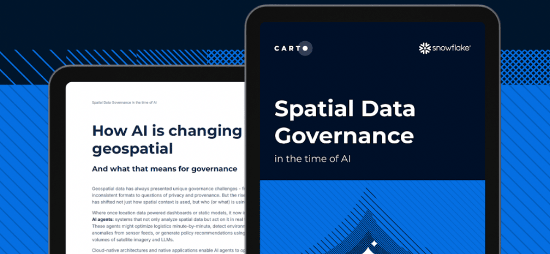
Report
Spatial Data Governance in the Time of AI

Download this report to learn how to bring spatial data into your governance strategy, so your analyses stay accurate, auditable, and compliant.

Download now
Data Catalog
CARTO Data Observatory

Use the Data Observatory (DO) to access thousands of public & premium datasets from curated sources to enrich your own data and boost your insights.

Browse the catalog
Documentation
Generative AI at CARTO

Leverage native Generative AI capabilities in Data Warehouses using the CARTO components. Description, inputs, outputs or more.

Read more