Cartography & Visualization
.png)


A SQL approach to graph coloring applied to maps
How to solve the graph coloring problem implementing several map coloring algorithms in PostGIS

A new look for Positron and Dark Matter basemaps
Positron and Dark Matter have been redesigned with their original purpose in mind.

4 Powerful Historical Maps Every Data Analyst Should Know
These four historical maps reveal that innovations in a map's perspective, data, and aesthetics all contributed to the complex five-decade evolution of location intelligence.

Map of the Month: Pi Project - Connecting the World Through Art
Map of the Month: Pi Project - Connecting the World Through Art


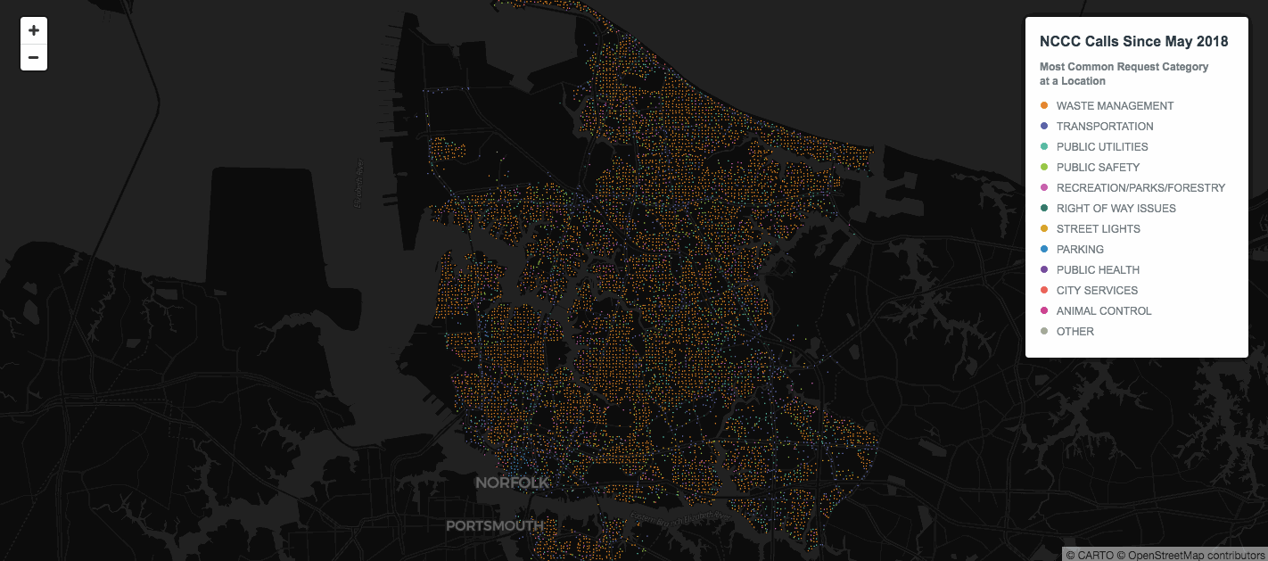
Real-time updated map of addresses inside LA wildfires perimeter
This map shows real-time data of the perimeter of the wildfires as well as the streets most impacted.

Design Principles for Making Maps on the Web
Unless you're Leonardo da Vinci, being both an artist and a scientist doesn't come naturally, so we've found two maps that demonstrate how colors, labels, boundaries, and symbols can help you create a powerful map.
4 solutions to common problems when making location data maps
Learn four tips on solving common cartography problems using CARTO VL, CARTO.js and Builder


CARTO 2018: Our Year In Review
From start of year roadmaps to end of year industry recognition, here’s a brief recap of our very busy 2018!

80 Data Visualization Examples Using Location Data and Maps
We've scoured the web in search of data visualizations showing the value of location data in its many varieties, and have compiled this list to bring you the very best examples.


Academy
.jpg)
Telco dashboards: Turning accessible data into actionable insights
Discover how CARTO enhances data accessibility, empowering decision-makers with actionable insights to improve network access for senior citizens and communities.

The first 5 maps everyone needs to make with CARTO
New to CARTO? Start with these 5 essential maps! Learn how to analyze proximity, work with big data, integrate real-time updates, and leverage AI-driven insights.

Unlock raster analytics & visualizations - now in your lakehouse!
Unlock raster analytics in your lakehouse! Analyze & visualize raster data natively in CARTO for unmatched scalability, efficiency & cost savings.