

Cartography & Visualization
.jpg)


Maps with a Mission: Environmental Impact with Spatial Analytics
Let’s dive into how organizations use CARTO to protect biodiversity, advance climate research, manage natural resources, and drive sustainable decision-making.
.png)

The first 5 maps everyone needs to make with CARTO
New to CARTO? Start with these 5 essential maps! Learn how to analyze proximity, work with big data, integrate real-time updates, and leverage AI-driven insights.

24 of the best maps, visualizations & analysis from 2024
Discover 24 of the best maps, visualizations, and analyses from 2024! Explore innovations in geospatial data, user-centric tools, & advanced spatial analytics.
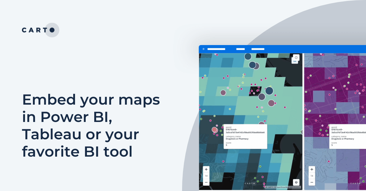

Embed your maps in Power BI, Tableau or your favorite BI tool
Learn how to embed CARTO maps in Power BI, Tableau, and other BI tools to enhance dashboards with interactive spatial data visualization and insights.

Introducing CARTO Heatmaps for Big Data Visualization
Enhance your big data visualization with CARTO's heatmap style! Learn how to impactful, large-scale heatmaps with this guide.
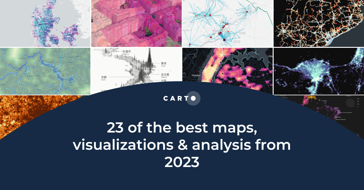
23 of the best maps, visualizations & analysis from 2023
Explore 23 of the best maps and visualizations of 2023. From advanced analytics to awesome visualizations with huge geospatial data.
.png)

Pie Charts: An Effective Data Visualization Tool?
A guide to creating Pie Charts for effective spatial Data Visualization & dashboards, including best practice and examples.

Map tiles: 5 examples to get started
Learn how to effectively visualize geospatial data with tilesets, including a step-by-step guide and 5 examples to inspire you!


Power 3D Maps with Google Maps Platform, CARTO & deck.gl
Learn how to leverage photorealistic 3D map tiles with this collaboration from Google Maps Platform, CARTO, and deck.gl.
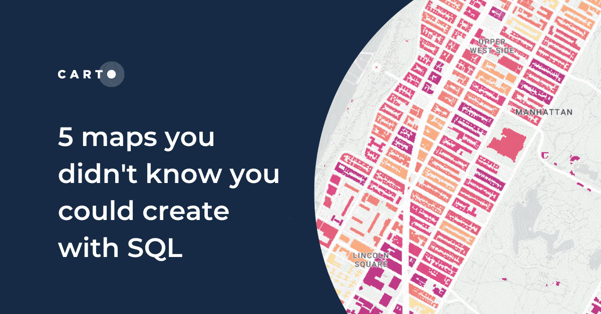
5 maps you didn't know you could create with SQL
Did you know you can use Spatial SQL to create amazing maps and data visualizations? Learn how with these five examples.
.png)

Map Tiles: Everything You Need To Know
An introduction to map tiles: a method for visualizing big spatial data, including a guide for generating map tiles with Spatial SQL.

22 of the best maps, visualizations & analysis from 2022
A round-up of some of our favorite pieces of analysis, maps and visualizations using CARTO from 2022 in areas including retail, transport, climate & more!

Academy


CARTO & Snowflake: Location Intelligence for Energy and Utilities
CARTO and Snowflake expanding cloud-native Location Intelligence for Energy and Utility organizations, unifying IoT data for resilient operations.
How to get your colleagues and clients excited about geospatial
A practical guide to building internal buy-in for geospatial, with tips on making the case to non-technical colleagues and leaders, speaking the right language.
Nagarro & CARTO: Advancing Enterprise AI Transformation
CARTO and Nagarro partner to help enterprises move AI from pilots to production, embedding Location Intelligence into existing workflows and systems.