

Spatial Data Science
.jpg)


Geospatial Foundation Models: Workshop Takeaways
Explore the state of geospatial foundation models, from representation learning to population dynamics, with insights from the CARTO & BSC workshop.


Turning Geospatial Foundation Models into Decisions using CARTO Workflows
CARTO now lets you run analytics directly on geospatial foundation model embeddings. Visualize, cluster, and detect changes to turn spatial data into decisions.
.png)
From Imagery to Insight: Google AlphaEarth Foundations in CARTO
Discover how CARTO integrates Google DeepMind’s AlphaEarth satellite embeddings for advanced geospatial AI, climate, and risk analysis.

Supercharge Your Spatial Models with Google PDFM in CARTO
Integrate Google's PDFM embeddings into CARTO Workflows for enhanced spatial models. This blog shows two use cases on how these embeddings improve predictions.

Foundation Models: Transforming the Future of Spatial Analytics
Explore how geospatial foundation models like Google’s PDFM are revolutionizing spatial analytics, from disaster response to urban planning with CARTO.


Boost your Spatial Analytics with Snowflake ML in CARTO
Discover how Snowflake ML in CARTO simplifies machine learning for spatial analytics. Easily build, train, and deploy forecasting models in your workflows.
.png)

Scale your signal propagation analysis with CARTO Workflows
Scale signal propagation analysis with CARTO Workflows—cloud-native, low-code, and powerful. Optimize 5G planning and network coverage with ease.

Space-time anomaly detection for smarter property risk assessment
Learn how to detect crime anomalies & assess property risk in near real-time using CARTO Workflows—low-code spatial analytics for scalable spatial data science

BigQuery ML now in CARTO: supercharge your spatial analysis with AI
Supercharge your spatial analysis with AI! CARTO’s BigQuery ML Extension lets you build, train & deploy ML models seamlessly in Workflows.


What space-time analysis tells us about the Paris Olympics
Explore space-time analytics through the 2024 Paris Olympics! Discover insights from human mobility data & learn how to leverage spatial analysis tools.


Create a Spatial Priority Score to Improve Network Access
Learn how to create a spatial priority score to improve network access for senior citizens. Explore data integration, regression models, and AI insights.
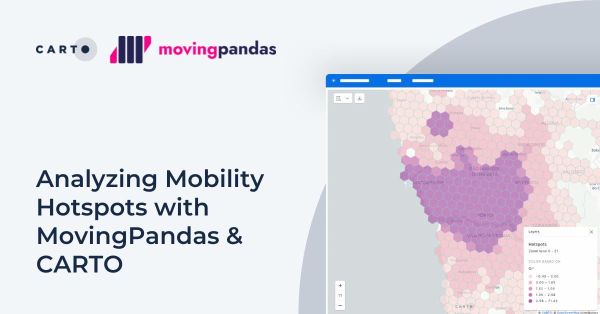


Analyzing Mobility Hotspots with MovingPandas & CARTO
Explore mobility hotspots with MovingPandas and CARTO. Tutorial on transforming trajectory data into space-time hotspots for intelligent decision-making.

Academy


CARTO & Snowflake: Location Intelligence for Energy and Utilities
CARTO and Snowflake expanding cloud-native Location Intelligence for Energy and Utility organizations, unifying IoT data for resilient operations.
How to get your colleagues and clients excited about geospatial
A practical guide to building internal buy-in for geospatial, with tips on making the case to non-technical colleagues and leaders, speaking the right language.
Nagarro & CARTO: Advancing Enterprise AI Transformation
CARTO and Nagarro partner to help enterprises move AI from pilots to production, embedding Location Intelligence into existing workflows and systems.