


Google Cloud Next 2025: Key takeaways for geospatial
Discover key geospatial insights from Google Cloud Next 2025 - AI, low-code tools, Earth Engine, and more innovations shaping the future of location tech.
Top Posts
.jpg)


Why use Data Warehouses for Geospatial Analysis
Why use BigQuery, Snowflake, Redshift & Databricks for geospatial analysis? Explore with a real-life example.

How to get your colleagues & clients excited about geospatial
A guide to getting your colleagues & clients excited about geospatial technology and spatial analysis, with practical tips and advice
.png)
Map Tiles: Everything You Need To Know
An introduction to map tiles: a method for visualizing big spatial data, including a guide for generating map tiles with Spatial SQL.

CARTO Workflows are here: no code spatial analysis
Introducing CARTO Workflows - a no code tool for processing and analyzing spatial data! Unlock spatial analysis without needing to know SQL or Python.


What's New in CARTO - Q4 2022
Announcing our latest release of CARTO cloud-native features for Q4 2022.

22 of the best maps, visualizations & analysis from 2022
A round-up of some of our favorite pieces of analysis, maps and visualizations using CARTO from 2022 in areas including retail, transport, climate & more!

3 ways to load geospatial data into Redshift
Looking to load geospatial data into Amazon Redshift? Find out how to do this using Python, GDAL, Airbyte & dbt.
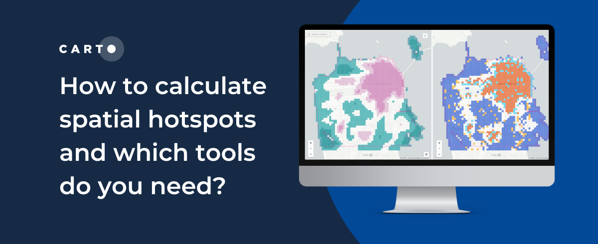
How to calculate spatial hotspots and which tools do you need?
A comparison of the main spatial hotspot tools and which is best for your use case, including a guide on how to use and interpret these.


CARTO for CPG - Integrated Spatial Analytics for Consumer Brands
Spatial analytics & data to drive better CPG trade marketing & channel expansion strategies.

Tableau vs Power BI: Why you should stop using them for spatial analysis
Tableau vs Power BI: why these tools aren’t optimal for spatial analysis. Explore limitations & find solutions for handling complex geospatial data effectively.


CARTO Brings Cloud-Native Location Intelligence to G-Cloud
CARTO's cloud-native Location Intelligence platform is now available as a G-Cloud Supplier in the Crown Commercial Services Digital Marketplace.

The Ultimate Guide to OpenStreetMap & BigQuery
A guide to the pros & cons of OpenStreetMap geospatial data, and how to access it via Google BigQuery

Academy
Google Cloud Next 2025: Key takeaways for geospatial
Discover key geospatial insights from Google Cloud Next 2025 - AI, low-code tools, Earth Engine, and more innovations shaping the future of location tech.
.jpg)
KASPR Datahaus Cyber Intelligence data now available in CARTO!
Announcing KASPR's global cyber intelligence data - now in CARTO! Monitor internet performance, optimize networks & drive smarter geospatial decisions.
What's New in CARTO - Q1 2025
Announcing the latest new features in the CARTO platform from Q1 2025! AI Agents, cloud-native raster, QGIS integrations - and more!

