


Google Cloud Next 2025: Key takeaways for geospatial
Discover key geospatial insights from Google Cloud Next 2025 - AI, low-code tools, Earth Engine, and more innovations shaping the future of location tech.
Top Posts
.jpg)


Deploy CARTO spatial apps directly in the Snowflake Data Cloud
Announcing CARTO’s support for Snowflake’s Snowpark Container Services & Snowflake Native Apps for cutting-edge geospatial analysis & optimization.


Using Spatial Composites for Climate Change Impact Assessment
Learn how to assess climate change risks with spatial composites; measure impacts and support decision-making for infrastructure & natural resources.

Unlock the Potential of Spatial Indexes: 10 Powerful Uses of H3
Unleash the potential of H3 and revolutionize spatial data analysis with this lightweight global grid system. Explore real-world examples.


Meet CARTO at the Snowflake Summit 2023 in Las Vegas
We're excited to be attending Snowflake Summit 2023 in Las Vegas! Join us to find out how we're helping companies turn spatial data into insight.
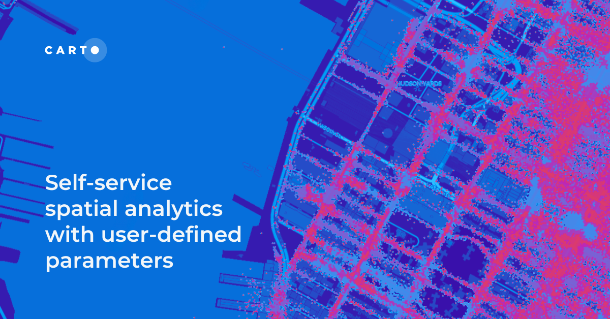
Self-service spatial analytics with user-defined parameters
Unlock Spatial Insights for non-expert users with User-Defined Parameters. Learn how to democratize geospatial data analysis for faster decision-making.


Power 3D Maps with Google Maps Platform, CARTO & deck.gl
Learn how to leverage photorealistic 3D map tiles with this collaboration from Google Maps Platform, CARTO, and deck.gl.
.png)
Improving Customer Experience in Telecoms with Geospatial
A guide to using geospatial to improve the Telecom customer experience, including network optimization, service personalization & targeted support.


Coming Soon: A Week of Geospatial at #SDSC23 London
Learn all about the Spatial Data Science Conference, London 16th-18th May, including geospatial workshops, networking & how to get tickets.


What's New in CARTO - Q1 2023
Announcing the latest release of new features in the CARTO platform for Q1 2023.


Echo Analytics’ Geospatial Data now available in CARTO
Introducing Echo Analytics' data - now available in CARTO. We explore example use cases of their POI, building and mobility data.
.gif)
A Guide To Using GTFS Data
The General Transit Feed Specification - or GTFS - is a specification for transit data. Use GTFS data for transit analysis & map visualization. Free tutorial.
.png)

New to CARTO: Gloval Analytics’ housing data
See Gloval Analytics' data from CARTO's Data Observatory in action, including real estate, energy performance and environmental risk use cases

Academy
Google Cloud Next 2025: Key takeaways for geospatial
Discover key geospatial insights from Google Cloud Next 2025 - AI, low-code tools, Earth Engine, and more innovations shaping the future of location tech.
.jpg)
KASPR Datahaus Cyber Intelligence data now available in CARTO!
Announcing KASPR's global cyber intelligence data - now in CARTO! Monitor internet performance, optimize networks & drive smarter geospatial decisions.
What's New in CARTO - Q1 2025
Announcing the latest new features in the CARTO platform from Q1 2025! AI Agents, cloud-native raster, QGIS integrations - and more!

