

Core Tech


Airship 2.0 is here
Explore features, Histogram widget enhancements, Time Series widget, and seamless CARTO VL integration. Elevate your Location Intelligence with Airship 2.0.


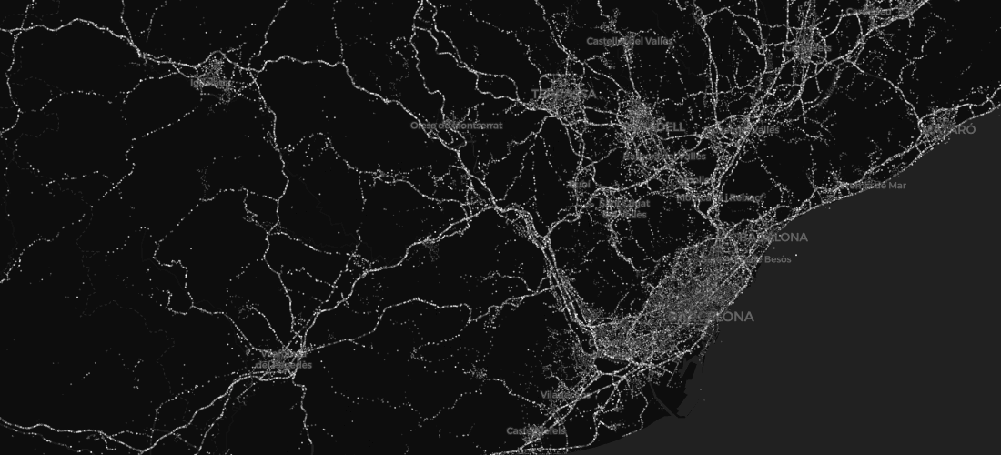

Introducing CARTO VL - Vector Technology for Location Intelligence
Introducing CARTO's new Vector Library, enabling faster rendering speeds, enhanced capabilities for on-the-fly analysis, responsive data-driven visualizations, and dynamic user interactions


CARTO Core Team and 5x
We're in charge of the key open source components, and the first problem we've tackled is overall performance.

Happy Birthday CARTOframes, CARTO's Python Interface
A fireside chat about CARTOframes, CARTO's Python interface, on its first birthday


Academy


CARTO & Snowflake: Location Intelligence for Energy and Utilities
CARTO and Snowflake expanding cloud-native Location Intelligence for Energy and Utility organizations, unifying IoT data for resilient operations.

How to get your colleagues and clients excited about geospatial
A practical guide to building internal buy-in for geospatial, with tips on making the case to non-technical colleagues and leaders, speaking the right language.
Nagarro & CARTO: Advancing Enterprise AI Transformation
CARTO and Nagarro partner to help enterprises move AI from pilots to production, embedding Location Intelligence into existing workflows and systems.