Spatial Analytics


CARTO Workflows are here: no code spatial analysis
Introducing CARTO Workflows - a no code tool for processing and analyzing spatial data! Unlock spatial analysis without needing to know SQL or Python.
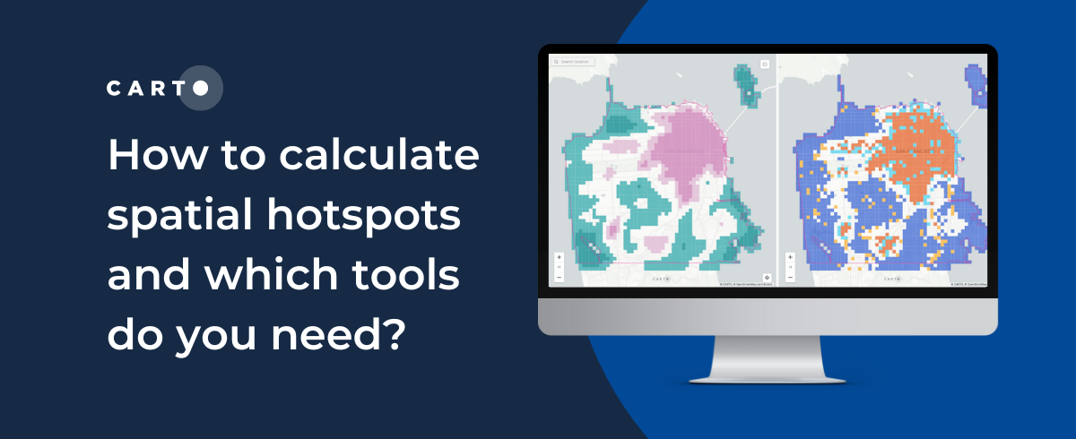

How to calculate spatial hotspots and which tools do you need?
A comparison of the main spatial hotspot tools and which is best for your use case, including a guide on how to use and interpret these.

Tableau vs Power BI: Why you should stop using them for spatial analysis
Tableau vs Power BI: why these tools aren’t optimal for spatial analysis. Explore limitations & find solutions for handling complex geospatial data effectively.

Introducing CARTO Workflows: Spatial analytics for all users
CARTO Workflows provides a complete user interface for spatial analysis that leverages the power of spatial SQL and cloud data warehouses.

CARTO’s Ultimate Guide to Spatial Joins & Predicates with SQL
Get started with Spatial SQL with this guide to using spatial relationships.


Exploratory Data Analysis: UK retail centres
CARTO shares how you can use Exploratory Data Analysis to better understand your data and frame future analysis with CDRC’s latest dataset - UK Retail Centres

Ghost Kitchens: Predictive Location Intelligence
CARTO uses Location Intelligence to predict locations of one of the hottest trends in food delivery - ghost kitchens.
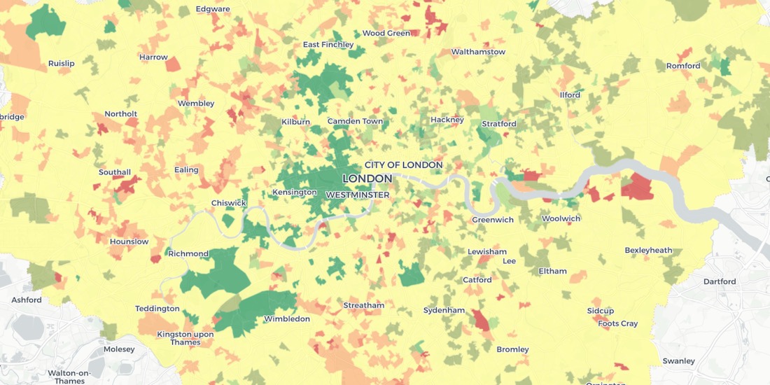
Using Spatial Analysis to Measure UK Gentrification
Read how Spatial Analysis & Machine Learning were used by researchers at UCL to understand neighborhood real estate changes & shape policy making in cities.


London vs New York: Which city has the higher average building height?
The City vs Wall Street. Piccadilly Circus vs Times Square. The answer will surprise you as we discover through maps & visualization.


Online Grocery Shopping - Route Optimization & Spatial Analysis during COVID19
How can online grocery shopping businesses use spatial analysis & route optimization to optimize through panic-buying? We explore real-life examples.

Stop Using Zip Codes for Geospatial Analysis
Uncover deeper insights beyond ZIP codes with geospatial analysis. Explore the limitations of ZIP codes and discover alternatives for spatial understanding.

Mapping Geoawesomeness' Top 100 Companies and Startups
Our team used CARTO VL and Airship to map the Geoawesomeness Top 100 Geospatial Companies and Startups list

Academy
.jpg)
Telco dashboards: Turning accessible data into actionable insights
Discover how CARTO enhances data accessibility, empowering decision-makers with actionable insights to improve network access for senior citizens and communities.
The first 5 maps everyone needs to make with CARTO
New to CARTO? Start with these 5 essential maps! Learn how to analyze proximity, work with big data, integrate real-time updates, and leverage AI-driven insights.

Unlock raster analytics & visualizations - now in your lakehouse!
Unlock raster analytics in your lakehouse! Analyze & visualize raster data natively in CARTO for unmatched scalability, efficiency & cost savings.