Spatial Data

.jpg)
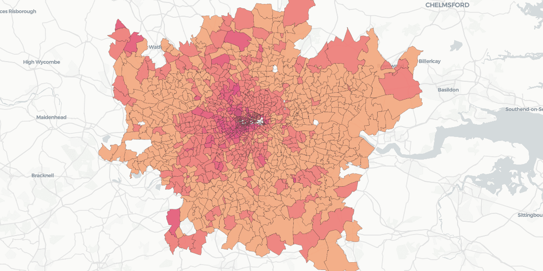


Doorda in CARTO: UK Demographics, Socio-economic Data, and More
Trusted, business-ready data for the UK is now available in CARTO through our partnership with Doorda. These datasets will reduce data cleaning and prep time and allow you to get straight to analysis.

5 Facts: Out of Home Advertising in 2020
5 facts that show that Out Of Home is the future of the advertising industry

Real Estate Market Analysis: Top 5 Data Streams
Real Estate Market Analysis needs to be data-driven, and given the spatial nature of Real Estate investment, you want the data that you are leaning on to be spatial data

Enrich Spatial Analysis with Landgrid's Nationwide Parcel Data
Landgrid brings their nationwide parcel data, which Boasts over 143 million land parcels across 2,800 counties, to the CARTO Data Observatory

Spanish Residential Real Estate data in CARTO with Tinsa Digital
With new technology solutions and modern, verified data, real estate analysis no longer needs to be carried out in manual and rudimentary ways


Calculating Catchment Areas with Human Mobility Data
Traditional approaches like isochrones or buffers fail to capture where people visiting a specific location actually come from. Learn how to build better Catchment with Human Mobility Data.


CARTO's Data Observatory 2.0, now powered by Google BigQuery
By working with Google BigQuery, the Data Observatory is transforming into the most cost effective and advanced spatial data infrastructure.

Spatial Data Simplified: Introducing Data Observatory 2.0
We’re introducing Data Observatory 2.0, the latest version of our spatial data repository that will make spatial data more accessible and faster to manipulate for Data Scientists and Analysts across the globe.


CARTO and SafeGraph Team Up for Behavior Pattern Insights
Aggregated visit pattern data, like SafeGraph's, has implications for investment decision making, public health, environmental efforts, and more

Risk Analysis and Optimization with Weather Data
From meeting fluctuating customer demands and scheduling services, to proactively optimizing workflows to minimize risks in case of extreme events, weather-related data represents a huge asset

Up-to-date Consumer & Demographic Data: The Backbone for Spatial Analysis
Announcing the inclusion of premium datasets from Applied Geographic Solutions (AGS) in our Location Data Stream Catalogue


Academy
.jpg)
Telco dashboards: Turning accessible data into actionable insights
Discover how CARTO enhances data accessibility, empowering decision-makers with actionable insights to improve network access for senior citizens and communities.

The first 5 maps everyone needs to make with CARTO
New to CARTO? Start with these 5 essential maps! Learn how to analyze proximity, work with big data, integrate real-time updates, and leverage AI-driven insights.

Unlock raster analytics & visualizations - now in your lakehouse!
Unlock raster analytics in your lakehouse! Analyze & visualize raster data natively in CARTO for unmatched scalability, efficiency & cost savings.