Spatial Data


Dstillery Behavioral Spatial Data available in CARTO's Data Observatory
Dstillery's Behavioral Spatial Data is available through CARTO's Data Observatory to provide market segmentation & geomarketing insights.

Experian's WorldView Spatial Data available in CARTO's Data Observatory
Experian's WorldView Spatial Data is available through CARTO's Data Observatory to provide socio-demographic & consumer spending insights


ATTOM in CARTO: School District Boundary Maps
School District Boundary Data from ATTOM Data Solutions is now available within our Data Observatory for use in your models & spatial analyses
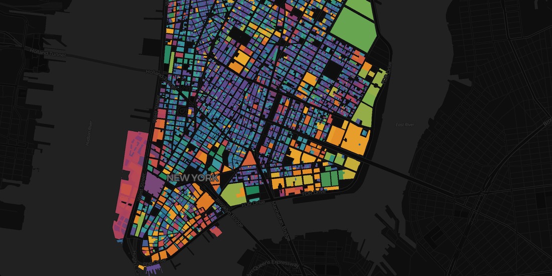

Raster vs Vector Maps: What's the Difference & Which are Best?
A look at the key differences of raster vs vector maps for geospatial data visualization, advantages & disadvantages of each, & which are the best.


MBI's global spatial data available in CARTO's Data Observatory
Michael Bauer International's wide range of spatial data is available through CARTO's Data Observatory to provide socio demographic insights & digital boundaries.


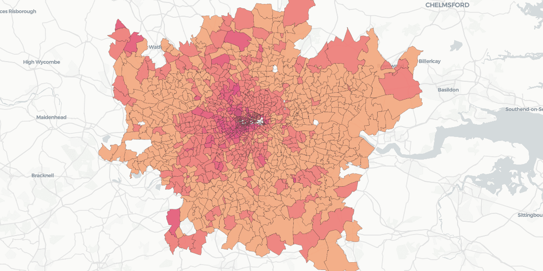
How to use COVID-19 Public Data in Spatial Analysis
A walkthrough of how to use publicly available COVID-19 data sets for spatial analysis using CARTOframes and our Data Observatory.


COVID-19 Inequality in the US: How Coronavirus is killing more Black Americans
Using data from the COVID Racial Data Tracker we calculate the mortality risk from COVID-19 for Black Americans & visualize the results.

WorldPop in CARTO: global demographic insights at high granularity
WorldPop global demographic data is now available in our Data Observatory for spatial analysis at fine spatial resolution.

New Location Data Available for COVID-19 Recovery Analysis
Location Data Streams from Apple, Unacast, Safegraph, & others now available for Spatial Analysis in our Data Observatory to aid in post COVID-19 recovery.

Open Data on COVID-19 Now Available in Data Observatory
CARTO makes available a set of COVID-19 related datasets as public data in the Data Observatory v2.0

Spatial.ai in CARTO: Geosocial Data Insights During & Post COVID-19
Geosocial Data is now available in CARTO through our partnership with Spatial.ai. See how location-based social media data can be used in spatial analysis.
Doorda in CARTO: UK Demographics, Socio-economic Data, and More
Trusted, business-ready data for the UK is now available in CARTO through our partnership with Doorda. These datasets will reduce data cleaning and prep time and allow you to get straight to analysis.

Academy
.jpg)
Telco dashboards: Turning accessible data into actionable insights
Discover how CARTO enhances data accessibility, empowering decision-makers with actionable insights to improve network access for senior citizens and communities.

The first 5 maps everyone needs to make with CARTO
New to CARTO? Start with these 5 essential maps! Learn how to analyze proximity, work with big data, integrate real-time updates, and leverage AI-driven insights.

Unlock raster analytics & visualizations - now in your lakehouse!
Unlock raster analytics in your lakehouse! Analyze & visualize raster data natively in CARTO for unmatched scalability, efficiency & cost savings.