Use cases
5 ways to transform spatial analysis for environmental resilience
Discover 5 ways to transform spatial analysis for environmental resilience using cloud-native GIS, automation, and real-time insights.
Improving Healthcare Access with BigQuery Tiler
Identifying high impact health facility locations with CARTO's BigQuery Tiler & open-sourced geospatial Big Data.
Using Location Intelligence to Combat Litter with PMI
In partnership with Philip Morris International, Litterati, & Cortexia, read how Spatial Data is being used to combat litter beginning with Lisbon, Portugal.
Map of the Month: Coffee Supply Chain Traceability
For our Map of the Month read how Enveritas use CARTO to analyze the traceability & sustainability of coffee supply chains around the world.
Fintech Spatial Data Science Masterclass with J.P.Morgan
Read a summary of the DeepFin (where Fintech meets Deeptech) Investor Masterclass we recently held with J.P.Morgan, a leading global financial services firm.
Where Do Expats Invest in Property on the Spanish Coast?
See how idealista used geospatial analysis & real estate location data to uncover fascinating insights on coastal property demand in Spain
Using Location Intelligence to return to Valencian beaches
Play&go with the collaboration of dotGIS develops an app using CARTO's platform to ensure health & safety on the beaches of Valencia, Spain.
Building COVID-19 Dashboards with Google BigQuery
See how private & public sector organizations use Google Cloud Platform with CARTO to share insights & map visualizations relating to the coronavirus pandemic.
Retail Data Analytics: Social & Credit Card Data
Within Retail Data Analytics we combine social media & credit card data to see how retailers can gain key market insights, optimize footprints, & boost sales.
Google BigQuery Visualization: Mapping Big Spatial Data
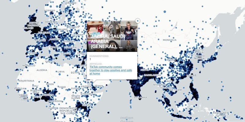
The GDELT Project describe how to use Google BigQuery to visualize their dataset of online news coverage focusing on COVID-19
Google Analytics Spatial Data Visualized with BigQuery
Our partner Liveli takes a look at how to visualize spatial data from Google Analytics using BigQuery, gaining deeper insights from website traffic.
Comparative Market Analysis Real Estate: Twin Areas
With many retailers consolidating stores & focusing on curbside pickup, comparative market analysis real estate can identify twin areas to maximize revenue.
What Geospatial Analysis tells us about Meatpacking & COVID-19
One of our partners, makepath, describe how to use multiple open source spatial libraries for COVID-19 analysis focusing on the US meatpacking industry.

Academy


What’s new in CARTO - Q4 2025
Discover what’s new in CARTO Q4 2025, including Agentic GIS, AI-powered spatial analysis, MCP tools, analytics on embeddings, and enterprise governance updates.
The State of Spatial Analytics 2026 - Register interest!
Key findings from the survey reveal major changes since 2024. Register interest now and get early access to the State of Spatial Analytics 2026 Report.


What is Agentic GIS?
Discover Agentic GIS: AI-powered spatial analysis that automates workflows, amplifies GIS expertise, and delivers actionable geospatial insights.


.png)


