


CARTO & Snowflake: Location Intelligence for Energy and Utilities
CARTO and Snowflake expanding cloud-native Location Intelligence for Energy and Utility organizations, unifying IoT data for resilient operations.


WorldPop in CARTO: global demographic insights at high granularity
WorldPop global demographic data is now available in our Data Observatory for spatial analysis at fine spatial resolution.


US Protest Map & Visualizing Police Violence
Using Spatial Analysis to analyze & visualize Location Data relating to the recent protests & police violence in the US including a protest map.

City Pedestrianization & Micromobility Post COVID-19
To enable safe social distancing cities are pedestrianizing urban areas & building infrastructure for greener transportation & micromobility. Discover how location data can help.
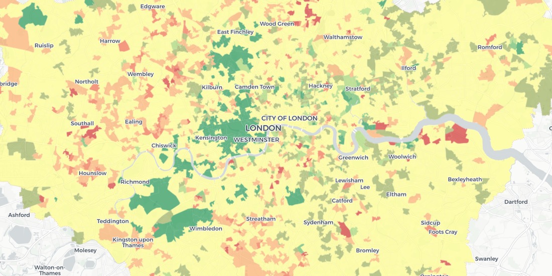
Using Spatial Analysis to Measure UK Gentrification
Read how Spatial Analysis & Machine Learning were used by researchers at UCL to understand neighborhood real estate changes & shape policy making in cities.


New Location Data Available for COVID-19 Recovery Analysis
Location Data Streams from Apple, Unacast, Safegraph, & others now available for Spatial Analysis in our Data Observatory to aid in post COVID-19 recovery.


GIS Indoor Mapping: Workplace Social Distancing
We explore how GIS Indoor Mapping Software can help organizations on their return to work, ensuring best practice in social distancing & contact tracing.

HIPAA Compliance in Geospatial Healthcare Analytics
Read how HIPAA compliance is maintained across the CARTO platform & about key use cases for customers working in the healthcare space.

London vs New York: Which city has the higher average building height?
The City vs Wall Street. Piccadilly Circus vs Times Square. The answer will surprise you as we discover through maps & visualization.
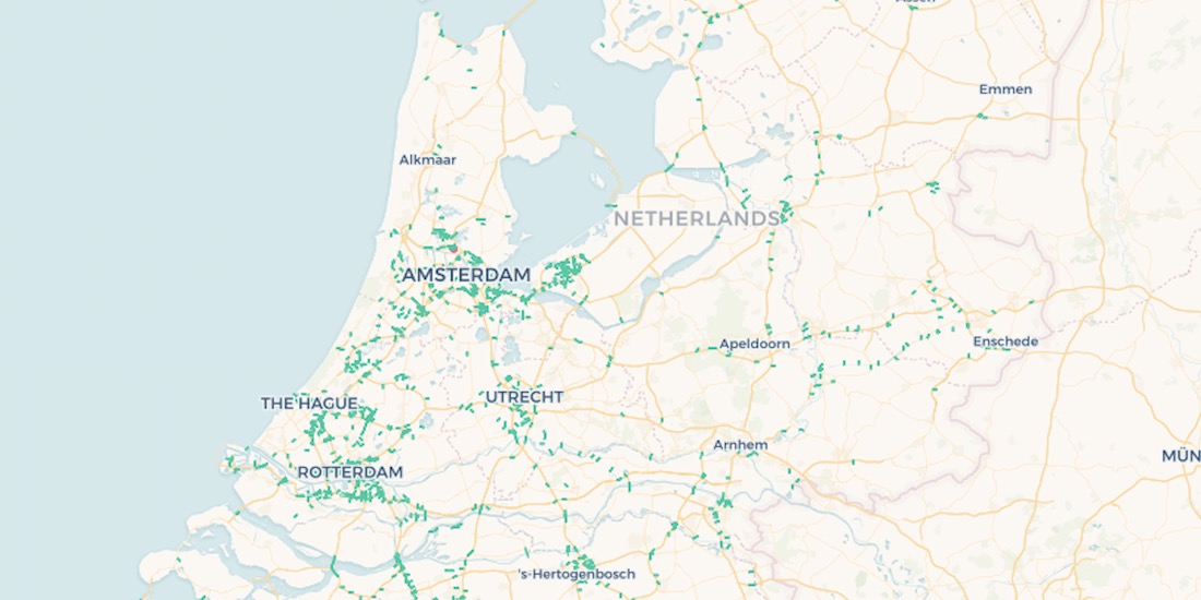
10,000 Dutch Bridges: A Foray into Using BigQuery Connector
Explore how to use our Google BigQuery connector to import large public datasets for geospatial analysis.
Using Spatial Data in Retail Analytics Post COVID-19
A look at how spatial analysis & new data streams such as telco & credit card data can provide insights in a return to retail post COVID-19.

Acquiring New Customers with Geomarketing for Online Retailers
Learn more about Geometric, a Geomarketing solution for Online Retailers made by Anagraph & their work creating COVID-19 dashboards for Canada.
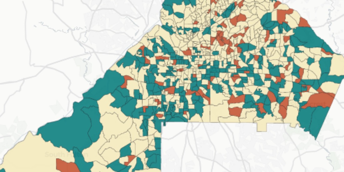
Assessing Potential Impact of COVID-19 on Rural Communities
Read how the Center on Rural Innovation & others used CARTO to determine which rural communities in the US are in need of greater support against COVID-19.

Academy

3 ways Location Intelligence is changing outdoor advertising
See how leading OOH companies use cloud-native spatial analytics and AI to move beyond impression counts and prove campaign ROI.
CARTO & Snowflake: Location Intelligence for Energy and Utilities
CARTO and Snowflake expanding cloud-native Location Intelligence for Energy and Utility organizations, unifying IoT data for resilient operations.

How to get your colleagues and clients excited about geospatial
A practical guide to building internal buy-in for geospatial, with tips on making the case to non-technical colleagues and leaders, speaking the right language.

