


CARTO & Snowflake: Location Intelligence for Energy and Utilities
CARTO and Snowflake expanding cloud-native Location Intelligence for Energy and Utility organizations, unifying IoT data for resilient operations.


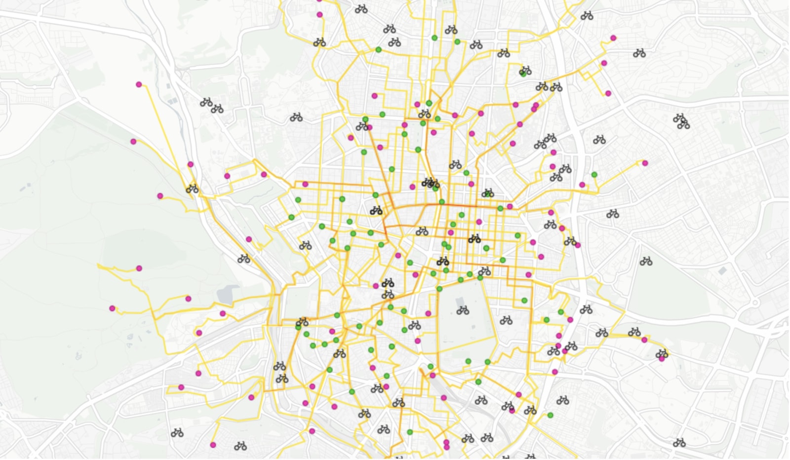

On-demand last mile transportation: Real-time route optimization with Location Intelligence
Discover how spatial analysis enhances last-mile transportation, optimizing routes for efficiency and reducing costs in delivery logistics.


Upgrading our Core Platform to PostgreSQL 11
In order to meet our users' increasing performance needs, during the following weeks we will be upgrading our software stack to be based on PostgreSQL 11 and PostGIS 2.5.

CARTO acquires Geographica to expand its professional services offering
We are pleased to announce that we have acquired one of our leading partners, Geographica

Improving Healthcare Access with Spatial Data Models
An investigation of healthcare access across America, built on new spatial data science techniques


Must-Follow Twitter Accounts for Spatial Data Science
This year's CARTO twitter guide features 50 twitter accounts to follow for those looking to dive specifically into Twitter's Spatial Data Science community

Announcing Discovery 2019: The Location Intelligence Summit
Recap Europe's top Spatial Summit in Madrid, June 6th, 2019. Keynotes by experts in Location Intelligence, GIS, data analytics & more.

Academy

3 ways Location Intelligence is changing outdoor advertising
See how leading OOH companies use cloud-native spatial analytics and AI to move beyond impression counts and prove campaign ROI.
CARTO & Snowflake: Location Intelligence for Energy and Utilities
CARTO and Snowflake expanding cloud-native Location Intelligence for Energy and Utility organizations, unifying IoT data for resilient operations.

How to get your colleagues and clients excited about geospatial
A practical guide to building internal buy-in for geospatial, with tips on making the case to non-technical colleagues and leaders, speaking the right language.

