


CARTO & Snowflake: Location Intelligence for Energy and Utilities
CARTO and Snowflake expanding cloud-native Location Intelligence for Energy and Utility organizations, unifying IoT data for resilient operations.


Airship 2.0 is here
Explore features, Histogram widget enhancements, Time Series widget, and seamless CARTO VL integration. Elevate your Location Intelligence with Airship 2.0.


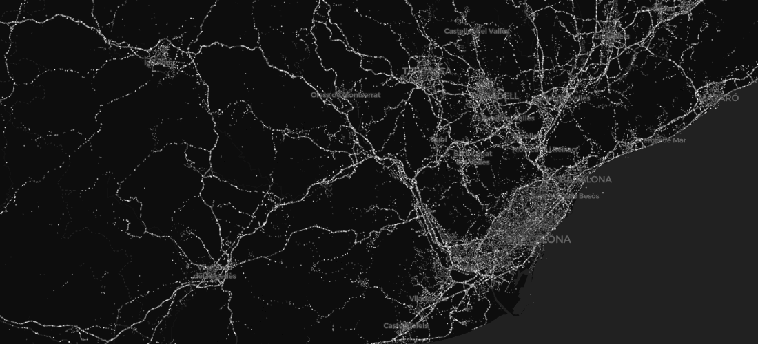
Mapping Segregation - MIT's Atlas of Inequality
Explore The Atlas of Inequality, a project revealing behavioral patterns and segregation impacts, led by MIT and Universidad Carlos III de Madrid.


Mapping Geoawesomeness' Top 100 Companies and Startups
Our team used CARTO VL and Airship to map the Geoawesomeness Top 100 Geospatial Companies and Startups list

Meet us at MWC: 1 Month To Go
we're getting very excited to attend this year's edition of the GSMA's flagship conference, Mobile World Congress - the world's largest exhibition for the mobile and telecommunications industry.


Introducing our new CEO: Luis Sanz
CARTO welcomes new CEO Luis Sanz to lead its growth in Location Intelligence, with co-founder Javier de la Torre now focused on strategy and development.

Academy

3 ways Location Intelligence is changing outdoor advertising
See how leading OOH companies use cloud-native spatial analytics and AI to move beyond impression counts and prove campaign ROI.
CARTO & Snowflake: Location Intelligence for Energy and Utilities
CARTO and Snowflake expanding cloud-native Location Intelligence for Energy and Utility organizations, unifying IoT data for resilient operations.

How to get your colleagues and clients excited about geospatial
A practical guide to building internal buy-in for geospatial, with tips on making the case to non-technical colleagues and leaders, speaking the right language.

