


CARTO & Snowflake: Location Intelligence for Energy and Utilities
CARTO and Snowflake expanding cloud-native Location Intelligence for Energy and Utility organizations, unifying IoT data for resilient operations.


.png)

Scale your signal propagation analysis with CARTO Workflows
Scale signal propagation analysis with CARTO Workflows—cloud-native, low-code, and powerful. Optimize 5G planning and network coverage with ease.


CARTO AI Agents: now in public preview!
Discover how CARTO AI Agents are democratizing spatial analysis, making it accessible to all users. Learn about real-life applications revolutionizing geospatial industries.


Automating your spatial workflows in Databricks with CARTO
Automate your geospatial workflows in Databricks with CARTO. Schedule, trigger, and integrate spatial data processes seamlessly using Databricks Workflows.

Space-time anomaly detection for smarter property risk assessment
Learn how to detect crime anomalies & assess property risk in near real-time using CARTO Workflows—low-code spatial analytics for scalable spatial data science
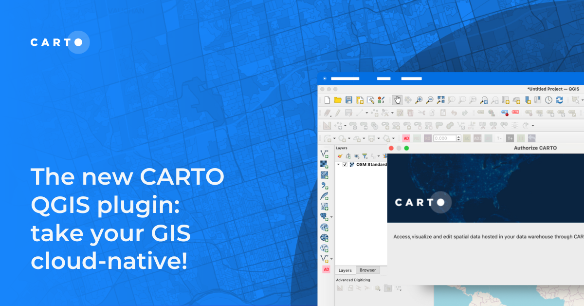
The new CARTO QGIS plugin: take your GIS cloud-native!
Modernize your GIS with QGIS & CARTO for scalable cloud-based analytics. Maximize efficiency, security, and collaboration.


BigQuery ML now in CARTO: supercharge your spatial analysis with AI
Supercharge your spatial analysis with AI! CARTO’s BigQuery ML Extension lets you build, train & deploy ML models seamlessly in Workflows.

Expand your analysis with the new CARTO Workflows Extensions
Expand & simplify your spatial analytics with AI-powered CARTO Workflows Extension Packages. Automate tasks, ensure consistency & enhance geospatial insights!


Drive smarter decisions with new BT mobility data in CARTO
Unlock mobility insights with BT Active Intelligence & CARTO! Drive smarter decisions with road-level data, OD matrices & seamless cloud integration.


What's New in CARTO - Q4 2024
Announcing the latest new features in the CARTO platform from Q4 2024! Explore the latest in visualisation, app development, analytics & security.

24 of the best maps, visualizations & analysis from 2024
Discover 24 of the best maps, visualizations, and analyses from 2024! Explore innovations in geospatial data, user-centric tools, & advanced spatial analytics.
.png)

Deploy CARTO inside Snowflake using Container Services
Discover the power of spatial analytics with CARTO inside Snowflake! Deploy seamlessly via Snowflake Marketplace for enhanced performance, security, and scalability.
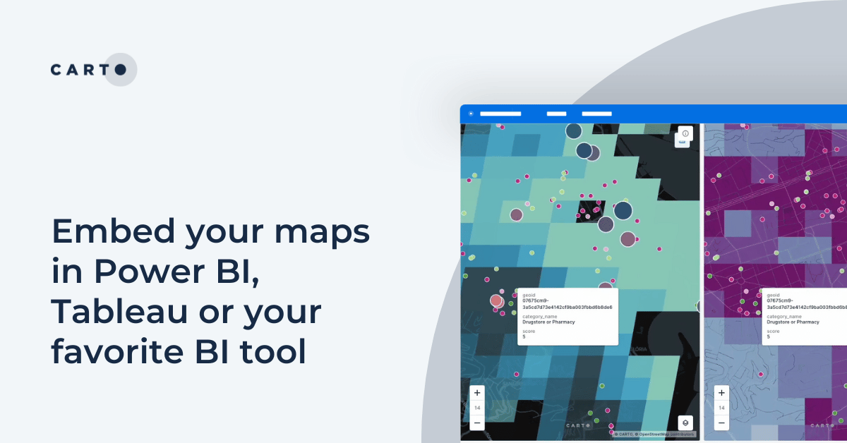
Embed your maps in Power BI, Tableau or your favorite BI tool
Learn how to embed CARTO maps in Power BI, Tableau, and other BI tools to enhance dashboards with interactive spatial data visualization and insights.

Academy

3 ways Location Intelligence is changing outdoor advertising
See how leading OOH companies use cloud-native spatial analytics and AI to move beyond impression counts and prove campaign ROI.
CARTO & Snowflake: Location Intelligence for Energy and Utilities
CARTO and Snowflake expanding cloud-native Location Intelligence for Energy and Utility organizations, unifying IoT data for resilient operations.
How to get your colleagues and clients excited about geospatial
A practical guide to building internal buy-in for geospatial, with tips on making the case to non-technical colleagues and leaders, speaking the right language.

