


CARTO & Snowflake: Location Intelligence for Energy and Utilities
CARTO and Snowflake expanding cloud-native Location Intelligence for Energy and Utility organizations, unifying IoT data for resilient operations.


40 Brilliant Open Data Projects Preparing Smart Cities for 2018
In our updated list, discover how local governments around the world are preparing smart cities for 2018 using open data!

Design Principles for Making Maps on the Web
Unless you're Leonardo da Vinci, being both an artist and a scientist doesn't come naturally, so we've found two maps that demonstrate how colors, labels, boundaries, and symbols can help you create a powerful map.

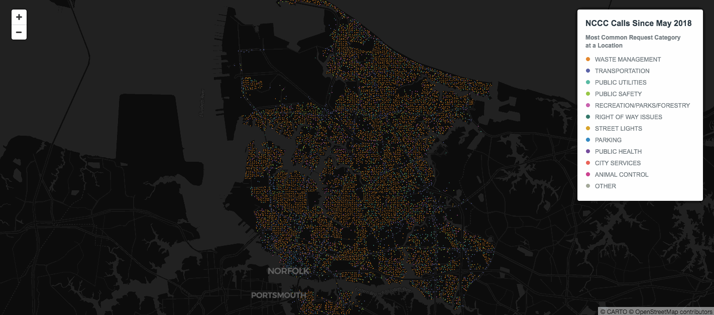
Predicting Collisions in NYC with New Data Streams and Spatial Analysis
For traffic engineers and analysts looking to tackle major challenges, such as reducing the number of car crashes in their city, new data streams and spatial data science are critical

CARTO's Use of Foreign Data Wrappers
Very different databases can be linked using this PostgreSQL feature.


Survivalists & Selectionists: How CPGs Understand Demographic Divides Through Location
Understanding modern demographic divides will help CPGs to adapt and thrive in changing consumer environments

3 Internet of Things (IoT) Location Trends in 2018
Internet of Things has evolved from a buzzword to a reality that businesses can't afford to ignore.
4 solutions to common problems when making location data maps
Learn four tips on solving common cartography problems using CARTO VL, CARTO.js and Builder

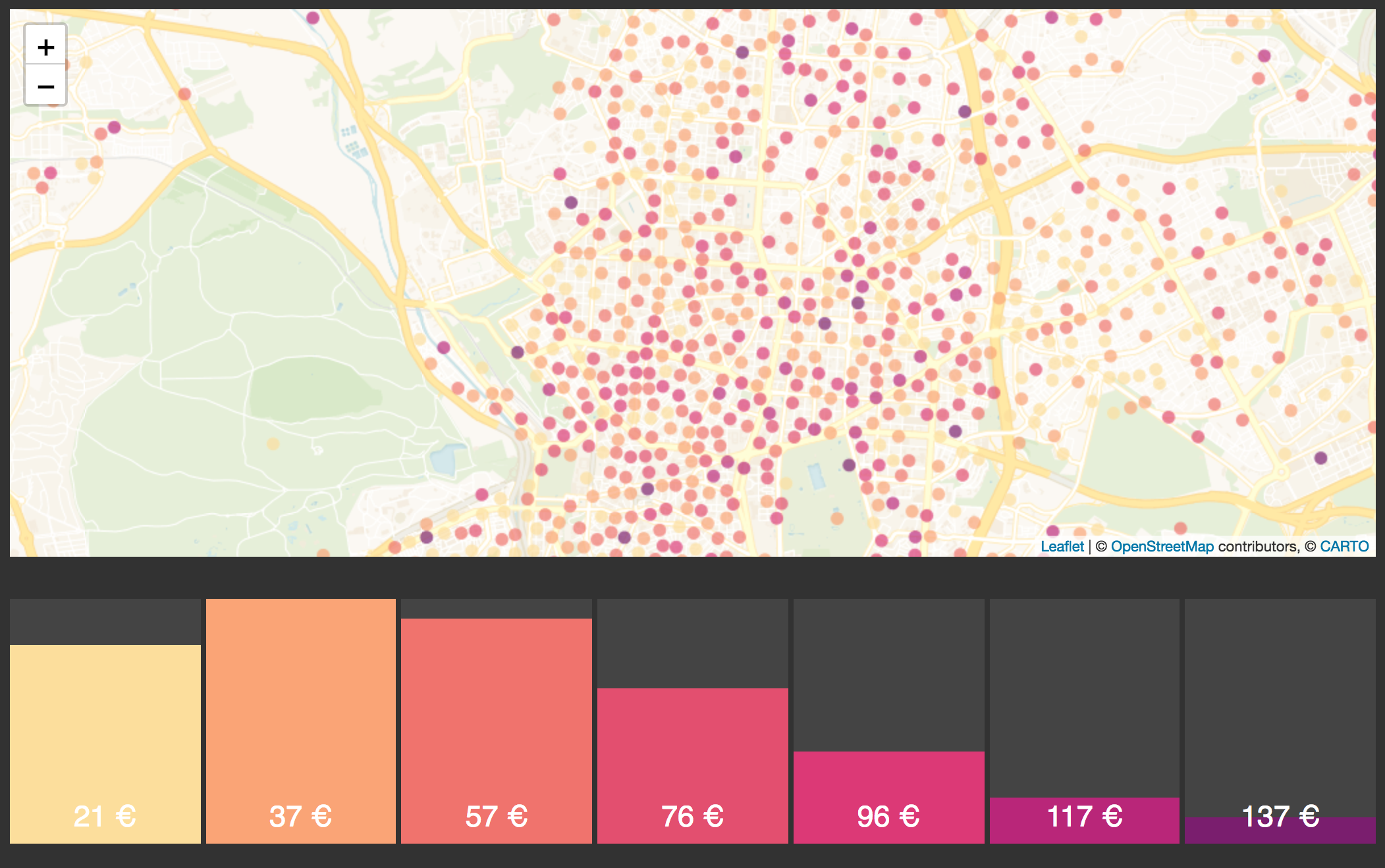
Using Spatial Interaction Models to Predict Behaviors
A spatial interaction model is specifically used to map and model the interactivity between various factors in distinct locations. This makes it extremely useful to understanding any data you might have with more than one location component.

Why spatial analysis is key to ending pharmacy deserts and the opioid epidemic
Learn to apply different types of spatial analysis to location data to determine whether or not community pharmacies are accessible in our latest post

Global Partnership: Democratizing Data & Location Intelligence for Development
Democratizing Data & Location Intelligence: The Global Partnership for Sustainable Development Data is Working Towards the SDGs

Location Intelligence conferences to attend this spring
Don’t miss these spring conferences to learn the latest in all things Location Intelligence
How to use CARTO.js with React
Example of how to create a naive application with CARTO.js and React.

Academy

3 ways Location Intelligence is changing outdoor advertising
See how leading OOH companies use cloud-native spatial analytics and AI to move beyond impression counts and prove campaign ROI.
CARTO & Snowflake: Location Intelligence for Energy and Utilities
CARTO and Snowflake expanding cloud-native Location Intelligence for Energy and Utility organizations, unifying IoT data for resilient operations.

How to get your colleagues and clients excited about geospatial
A practical guide to building internal buy-in for geospatial, with tips on making the case to non-technical colleagues and leaders, speaking the right language.

