

Spatial Analytics


Creating Animated Maps with CARTO Builder
Explore the power of Torque.js, offering innovative geospatial data aggregation for both time and space. Animate and analyze data trends effortlessly!
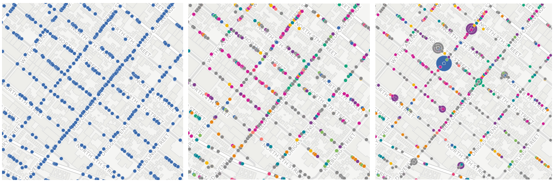

Creating Category Maps with CARTO Builder
Learn to create Data-Driven Maps with CARTO Builder! Color-code geospatial features by category effortlessly. Improve decision-making now!

Online mapping for beginners! A free online course!
Join our CartoDB online course on December 3rd at 4PM EST, streaming live from our New York offices. Learn the basics of geospatial.
Got files? We've got a Import API
Discover CARTO's Import API: Easily upload files without a browser, create visualizations, and explore seamless integrations. Start your spatial analysis now!

Why The Future of Food Depends on Location Intelligence
The food industry has always driven technological innovation, and today's connected shopper is more demanding than ever. Learn how food production and delivery will need to rely on location intelligence to keep up.

Academy


CARTO & Snowflake: Location Intelligence for Energy and Utilities
CARTO and Snowflake expanding cloud-native Location Intelligence for Energy and Utility organizations, unifying IoT data for resilient operations.

How to get your colleagues and clients excited about geospatial
A practical guide to building internal buy-in for geospatial, with tips on making the case to non-technical colleagues and leaders, speaking the right language.
Nagarro & CARTO: Advancing Enterprise AI Transformation
CARTO and Nagarro partner to help enterprises move AI from pilots to production, embedding Location Intelligence into existing workflows and systems.