

Spatial Data Science
.jpg)


Determine Optimal Store Locations using White Space Analysis
How do you determine where to open a new retail location? Discover how to use White Space Analysis & Spatial Data to make more informed decisions.


How to build a revenue prediction model with CARTO & BigQuery
Discover how to use CARTO's Analytics Toolbox for Google BigQuery to train a spatial predictive model to predict annual store revenues across a territory


Geographically weighted regression for spatial analysis in BigQuery
We are pleased to announce that the CARTO Analytics Toolbox for BigQuery now supports the Geographically Weighted Regression method–read about its usage.

How to Enrich POS Data to Analyze & Predict CPG Sales
Learn how to enrich & perform spatial modeling on retail point of sale data to analyze CPG sales & predict future performance in new locations


3 Spatial Data Science Trends to Watch in 2021
Geography is changing faster than ever before. Read our predictions for the key Spatial Data Science trends & industries to watch in 2021.

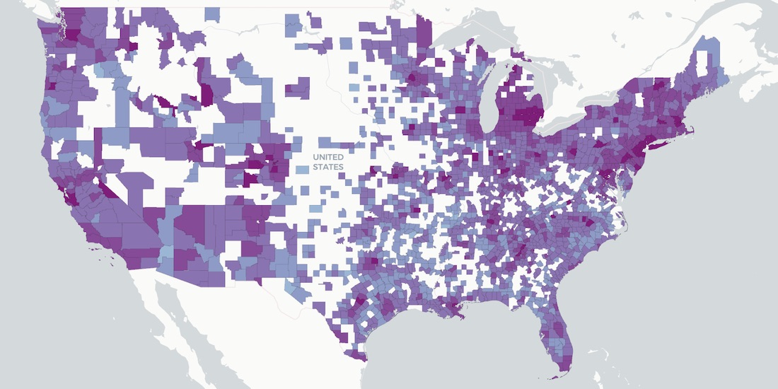
Predicting Traffic Accident Hotspots with Spatial Data Science
Road traffic injuries are a leading cause of death & have a big economic effect. Read how Spatial Data Science can identify dynamic hotspots & reduce accidents.
How Socioeconomic Factors relate to Mobility during COVID-19
A detailed geospatial analysis of how changes & regional disparity in human mobility during the COVID-19 lockdown can be related to socioeconomic indicators.


Announcing CARTO & Thinking Machines partnership
We are excited to announce that Thinking Machines a Data Science consulting firm specializing in geospatial, are now CARTO partners.

How Location Data Streams Can Be Used to Fight Against COVID-19
A look at how spatial data & analytics can become insightful resources to those designing, monitoring & optimizing responses against COVID-19.
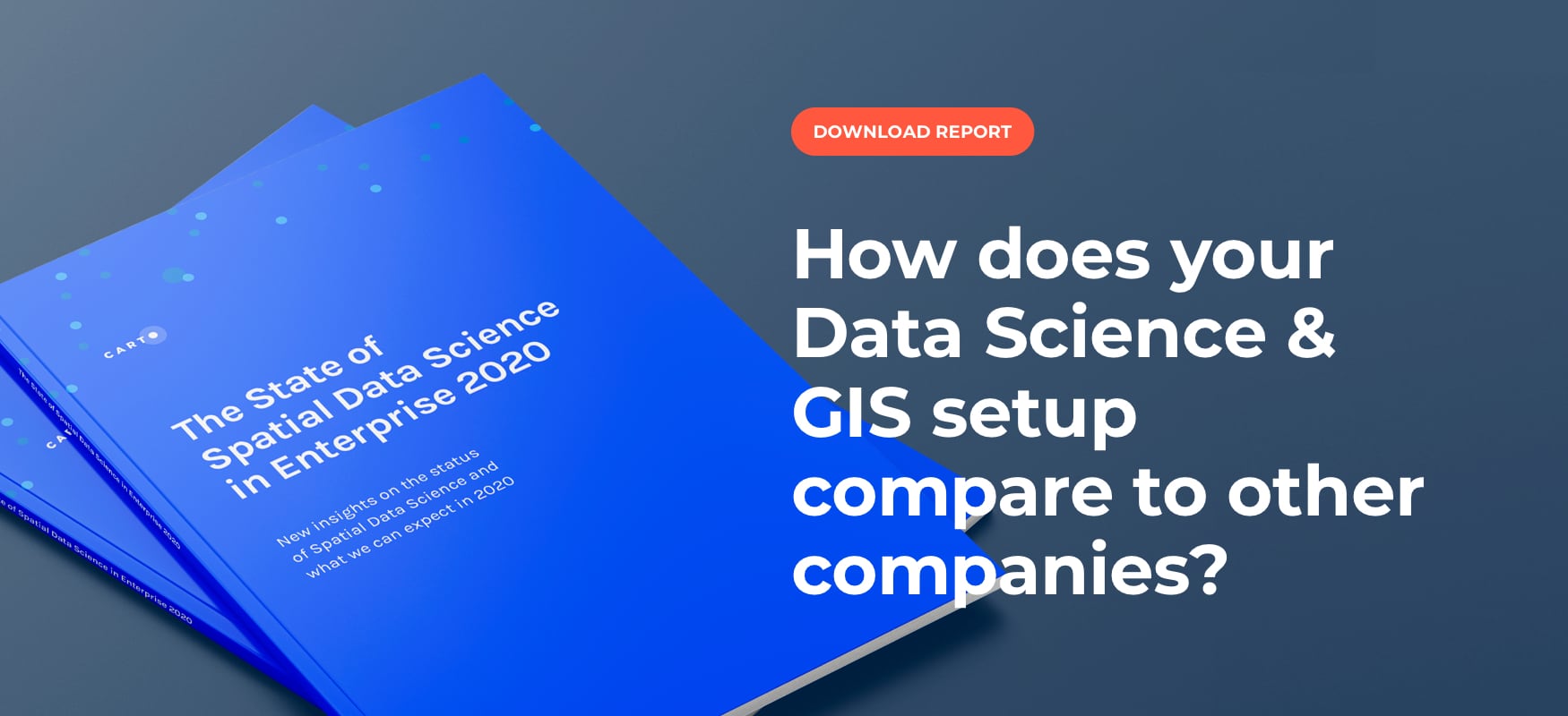
Top 3 Insights from The State of Spatial Data Science 2020
Discover key insights from our survey of how enterprise leaders from industries like Real Estate, Financial Services, Advertising and more are engaging with Spatial Data Science in 2020
Tackling Customer Churn for Utilities with Spatial Modeling
Spatial Data Science modeling can help Utilities companies to dramatically reduce customer churn and save millions in recurring revenue.

Speed up your spatial analysis with CARTOframes 1.0
CARTOframes is the go-to tool for powering analysis with spatial insights and efficiently working with spatial data and spatial models

Academy


CARTO & Snowflake: Location Intelligence for Energy and Utilities
CARTO and Snowflake expanding cloud-native Location Intelligence for Energy and Utility organizations, unifying IoT data for resilient operations.

How to get your colleagues and clients excited about geospatial
A practical guide to building internal buy-in for geospatial, with tips on making the case to non-technical colleagues and leaders, speaking the right language.
Nagarro & CARTO: Advancing Enterprise AI Transformation
CARTO and Nagarro partner to help enterprises move AI from pilots to production, embedding Location Intelligence into existing workflows and systems.