AI & the Future of Geospatial: Highlights from #SDSC25


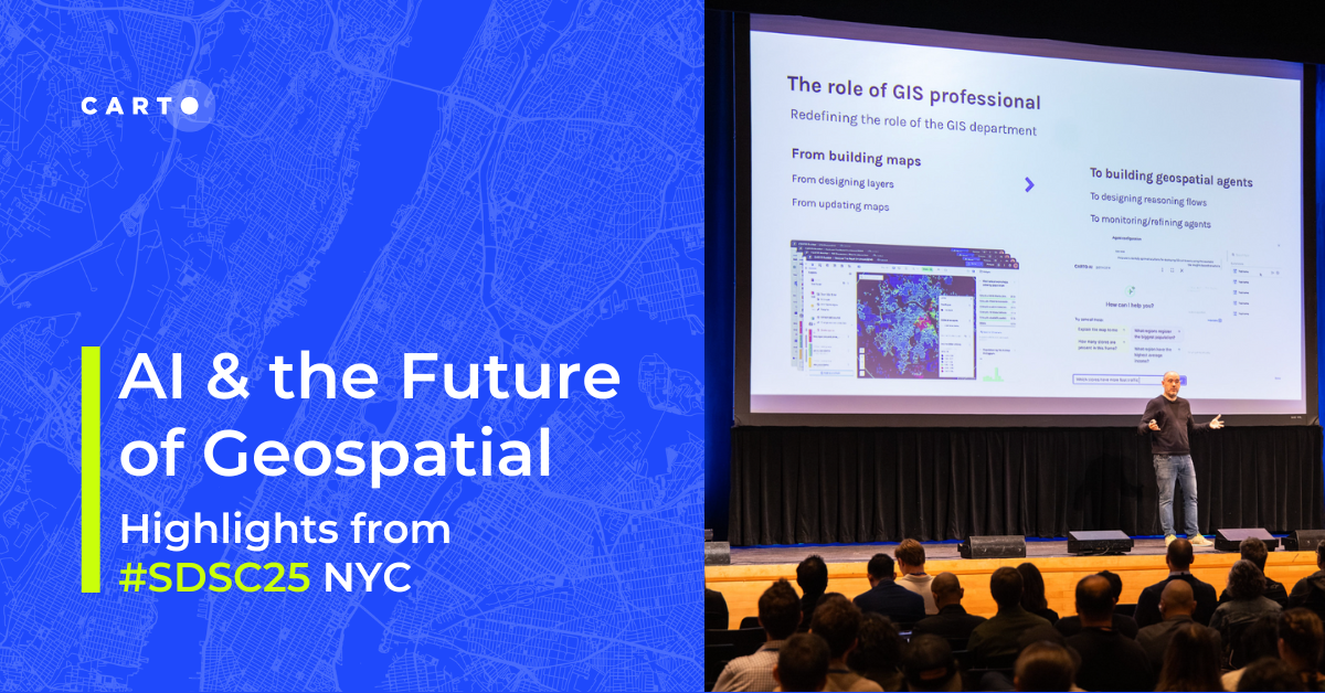
On October 14th and 15th, over 500 leaders in data science and analytics convened in New York City for hands-on workshops and the Spatial Data Science Conference (#SDSC25) at Columbia University.
The atmosphere was electric with a clear, unifying theme: geospatial is undergoing a fundamental reinvention. The integration of Agentic GIS is creating a strategic inflection point for spatial analytics, transforming it from a specialized niche function into a core driver of strategic value across all organizations.
For data analytics leaders focused on enhancing operational efficiency, optimizing resource allocation, and enhancing public service delivery—whether in insurance, real estate, retail, telecommunications, or government—the conference unveiled a compelling path as geospatial faces one of its biggest reinventions to date.
For data analysts, data scientists and geospatial analysts, the hands-on workshops provided a space to dig in and get early exposure to the latest tooling, models, and predictive data emerging in this space.
Missed out? Here are the key takeaways for your organization or watch the sessions on-demand here.
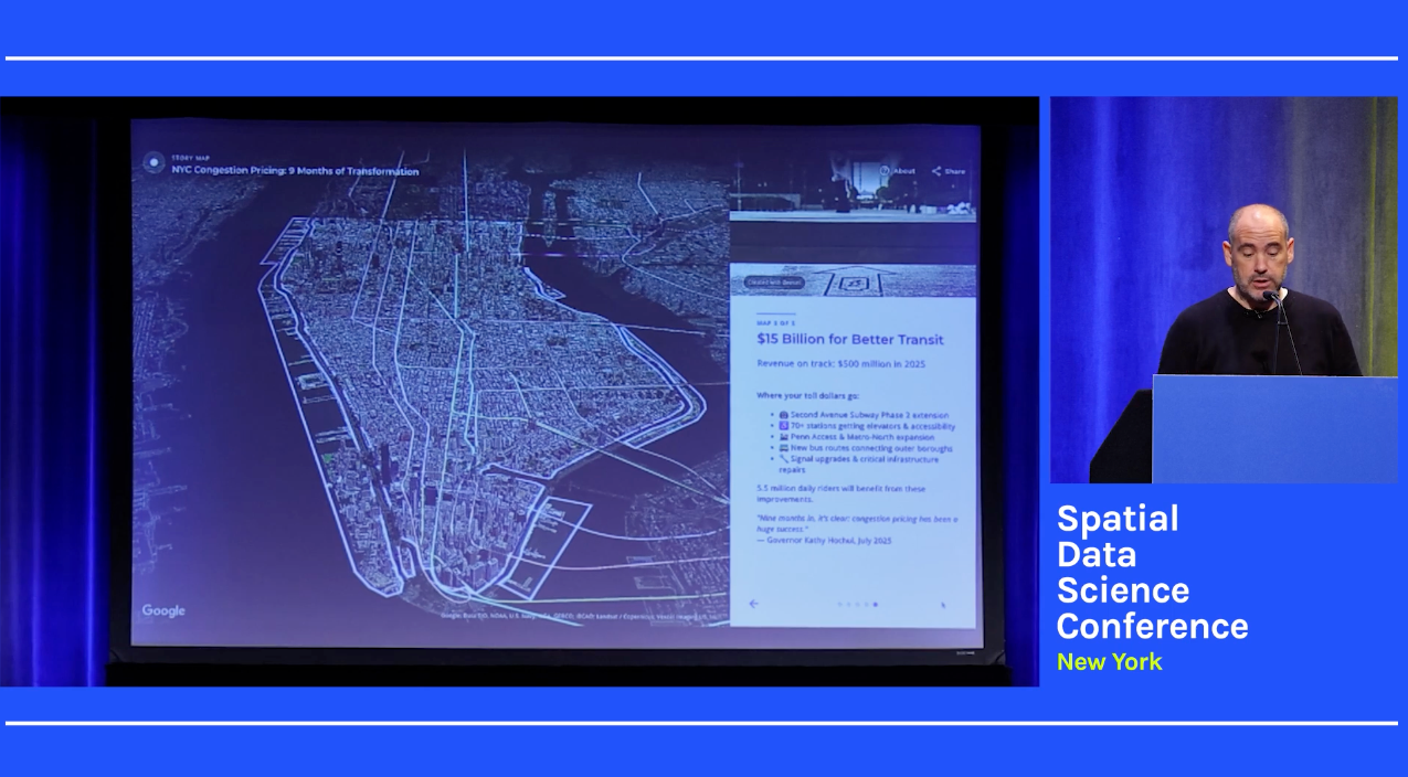
Javier de la Torre, CARTO's Founder & CSO, opened the conference by defining the next frontier for GIS: the "agentic era."
Using New York's complex congestion pricing plan as a case study, he illustrated how today's spatial challenges demand a more dynamic and intelligent approach. He articulated how complex spatial challenges—from optimizing commercial network footprints and assessing market risks to enhancing urban planning and public service delivery—demand more from architecture investments.
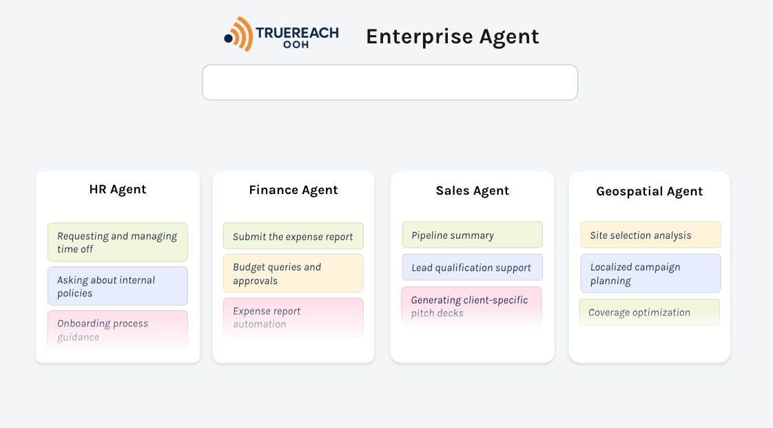
The key is Agentic GIS, which elevates spatial analysis from static dashboards to dynamic, conversational intelligence platforms. This paradigm shift democratizes access to insights, allowing business units to self-serve complex queries in natural language. The result is a reduced burden on specialized GIS teams and a dramatically accelerated time-to-insight. CARTO’s Agentic GIS approach (now available - try it yourself here!) is designed to integrate seamlessly into the enterprise, co-existing with agents across HR, Sales, and Finance.
Highlighting the tangible benefits, Javier demonstrated CARTO’s new Site Selection AI Agent, built for Gemini Enterprise and featured on Google’s AI Agent Finder. Its function: to help de-risk multi-million dollar capital expenditure decisions, whether for commercial expansion, infrastructure projects, or strategic resource deployment.
The keynote further detailed strategic platform modernizations, including collaborations with the AI Oracle Cloud as well as Google DeepMind and Google Research on the development of next-generation geospatial foundation models. These initiatives underscore a commitment to aligning with and enhancing large-scale enterprise and government cloud infrastructures.
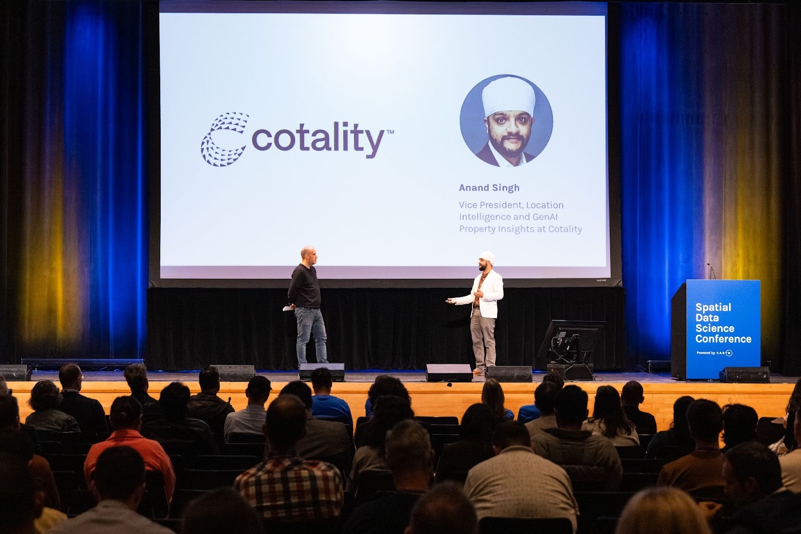
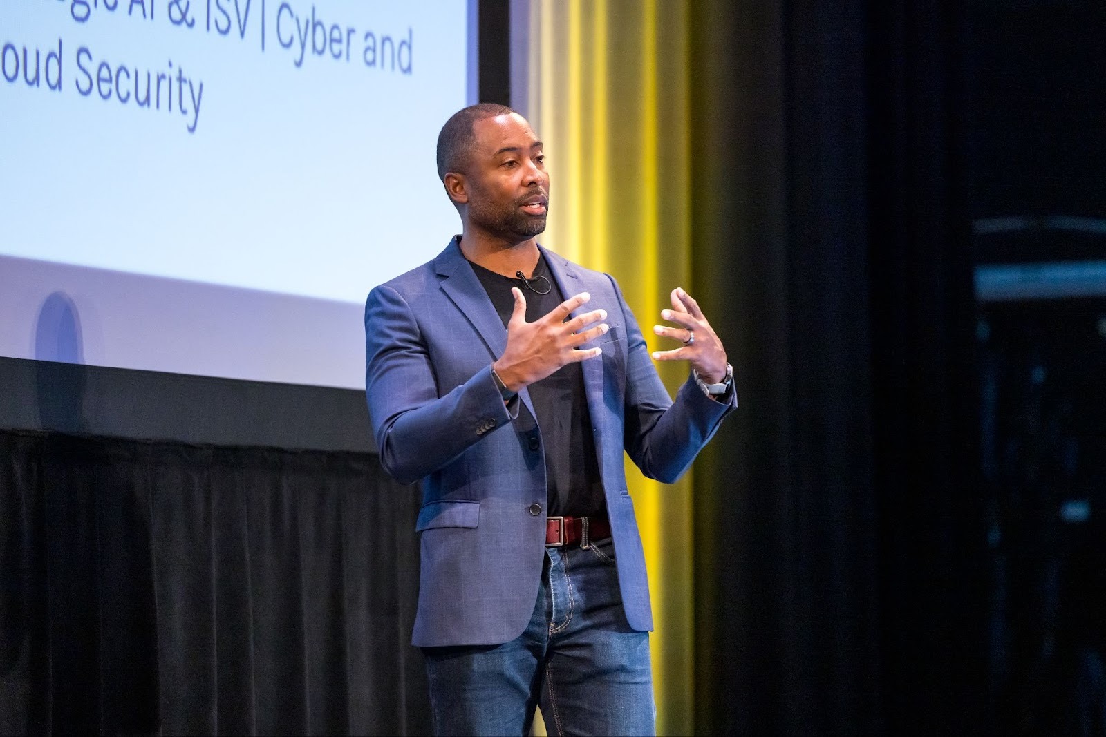
The practical value was echoed by industry leaders like BT, Virtue Foundation, and Cotality. To explore this theme further, two special guests, Anand Singh from Cotality and Keith Blackstone from Google Cloud, joined Javier on-stage to share their expertise and perspectives on this key inflection point for geospatial.
Wishing you’d caught the keynote? Watch it in full below!
Thematic discussions at the conference moved beyond theory to focus on measurable organizational impact. For example, Antonio Tirri from Leitha showcased how integrating advanced weather predictions and Earth Observation data using Google DeepMind can lead to more precise risk assessments and risk predictions. In another session, Matthew Baron from Snowflake illustrated how the AI Data Cloud is being leveraged to extract value from spatial datasets. The clear trend from these and other talks was that GeoAI has matured into a fundamental capability for both strategic growth and operational efficiency.

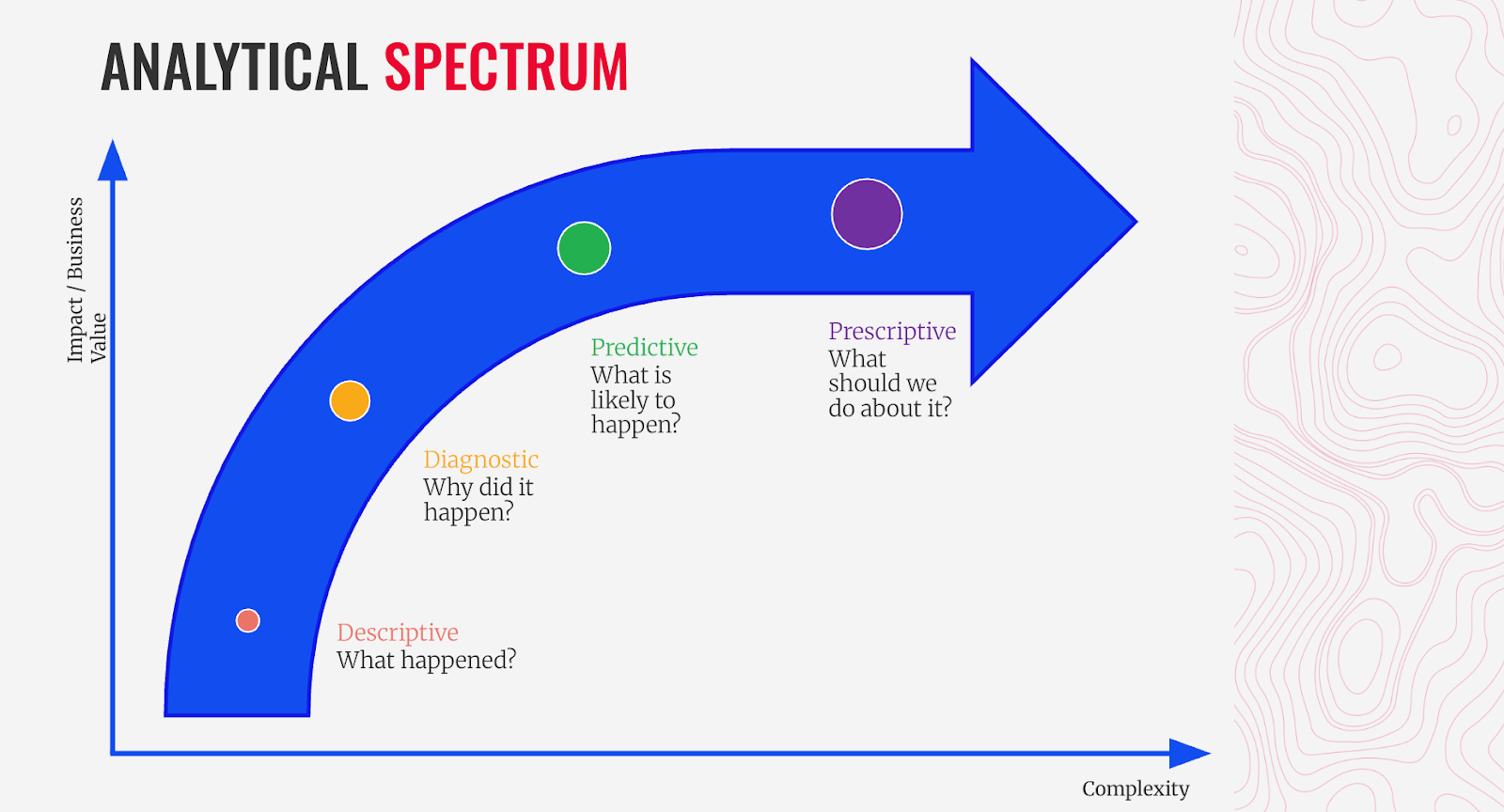
For any large organization, scalability and resilience are paramount. This theme was central to many presentations. Anant Dinamani from Deloitte presented tangible ways to improve road safety —a critical strategy and toolkit that augments traditional data including IoT sensors and imagery to manage portfolio-wide risk and build resilient transportation systems through predictive insights. In parallel, Keith Laba from Sekisui House demonstrated how adopting an analytic maturity framework can transform an organization from reactive reporting to predictive, multidimensional strategic planning.
The power of geospatial to drive positive social change was a highlight of the conference. Daisy Esqueda, Chief of Staff & Strategy Initiatives at the Los Angeles County Office of Education shared her team's inspiring work in creating a framework that transforms disparate data into actionable support for over a million students. In another powerful talk, Dr. Joan LaRovere, co-founder of the Virtue Foundation, detailed how her organization uses spatial analytics to combat the global health crisis by identifying and serving medical deserts.

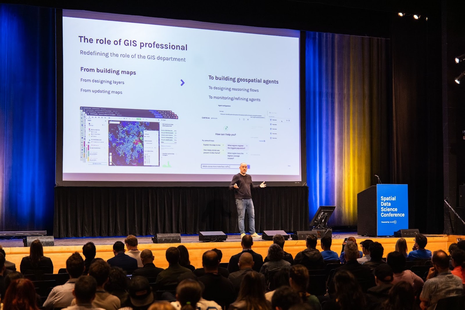
While AI dominated the discussion, a consistent message emerged: technology is here to augment, not replace, human expertise. Speakers emphasized that as AI automates routine analytical tasks, the role of the spatial professional becomes more strategic. The focus is shifting from building dashboards to designing geospatial agents, and from running models to architecting the very questions that AI will help answer.
The consensus at #SDSC25 was clear: AI provides the engine, but the geospatial community remains firmly in the driver's seat.
Strategy is only as powerful as its execution. The conference underscored for organizations to capitalize on this technological shift, their analysts and data scientists must get hands-on with the new tools now. The dedicated workshops provided a critical space for practitioners to move beyond theory and gain early exposure to the latest tooling and models. The curriculum covered high-demand skills essential for the agentic era, including how to use embedding models to create custom predictive models, build Agentic AI apps with CARTO + deck.gl, leverage LiDAR-derived data for 3D analysis, and apply AI for advanced geodemographic classification.
The message for data leaders was clear: fostering a culture of continuous, hands-on learning is essential for building the talent required to maintain a competitive advantage.
#SDSC25 in New York captured a pivotal moment for the geospatial field. It was about more than just new tools; it was about a fundamental shift in mindset. As AI continues to reshape workflows and data platforms become more integrated, the ultimate mission remains unchanged: to drive better decisions and connect people with the insights that truly matter.
Want to learn more? Request a demo to hear how leading edge companies are putting these advancements into practice.
Couldn’t make it? Watch SDSC sessions on-demand and follow the SDSC on LinkedIn to stay informed on future events and ticket releases.