


CARTO & Snowflake: Location Intelligence for Energy and Utilities
CARTO and Snowflake expanding cloud-native Location Intelligence for Energy and Utility organizations, unifying IoT data for resilient operations.


.png)


Pie Charts: An Effective Data Visualization Tool?
A guide to creating Pie Charts for effective spatial Data Visualization & dashboards, including best practice and examples.
.png)
Using crime data & spatial analysis to assess home insurance risk
Discover how spatial analysis of crime data can be used for smarter home insurance decisions, including personalized underwriting & targeted marketing.
.png)


Eco-Movement’s EV charging station data now available in CARTO
Drive insights with Eco-Movement's EV charging data - available in CARTO! Learn to use this data to optimize infrastructure & make informed decisions.


Modernizing spatial apps in the cloud with CARTO
Accelerate cloud native spatial app development with CARTO. Discover our APIs and developer frameworks, built for the modern geospatial data stack.


Participatory Mapping to Tackle Food & Water Insecurity in Ethiopia
Learn about UCL ExCiteS' ground-level approach to co-create tools and methods with local communities to map and monitor their land.
.png)
VFMatch.org: The First Mapping-and-Matching Global Health Platform
Learn about the pioneering platform VFMatch.org which harnesses the transformative potential of geospatial data in healthcare.


What's New in CARTO - Q3 2023
CARTO Q3 2023 Update: learn about new spatial analytics & data visualization features including enhancements to workflows, SQL parameters & more.


Dynamic Tiling: The key to highly performant cloud-native maps
Elevate cloud-native mapping of big data with CARTO's Dynamic Tiling. Seamlessly integrate interactive maps in your apps without compromising speed.
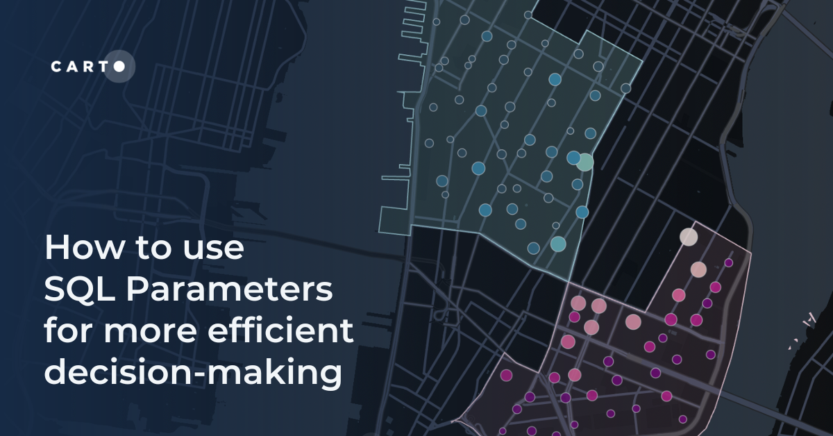
How to use SQL Parameters for more efficient decision-making
Make decisions more efficiently with SQL parameters. Follow this step-by-step guide exploring data-driven insights from Citi Bike analytics.
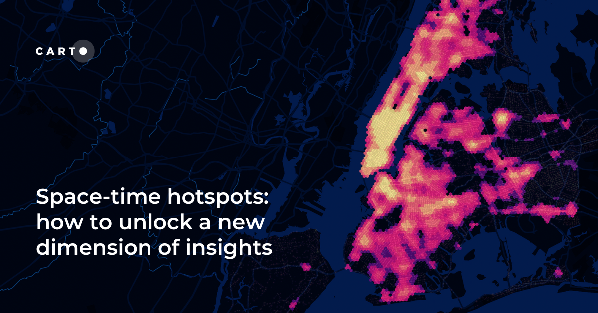
Space-time hotspots: how to unlock a new dimension of insights
How to use Space-Time Clustering to generate insights & optimize decision making with this step-by-step guide.
.png)
Bringing Spatial Data Science Bootcamps to Paris, Tokyo & Beyond
Join us at a Spatial Data Science Bootcamp, lined up worldwide. Grow your expertise on Spatial SQL, Python, the modern geospatial stack & more.


CARTO Wins Two Google Cloud Partner of the Year Awards
CARTO wins at the 2023 Google Cloud Partner of the Year in two categories! Explore our impactful collaboration driving innovation and sustainability.

Academy

3 ways Location Intelligence is changing outdoor advertising
See how leading OOH companies use cloud-native spatial analytics and AI to move beyond impression counts and prove campaign ROI.
CARTO & Snowflake: Location Intelligence for Energy and Utilities
CARTO and Snowflake expanding cloud-native Location Intelligence for Energy and Utility organizations, unifying IoT data for resilient operations.
How to get your colleagues and clients excited about geospatial
A practical guide to building internal buy-in for geospatial, with tips on making the case to non-technical colleagues and leaders, speaking the right language.

