


CARTO & Snowflake: Location Intelligence for Energy and Utilities
CARTO and Snowflake expanding cloud-native Location Intelligence for Energy and Utility organizations, unifying IoT data for resilient operations.


Introducing the Spatial App Development Summit NYC!
Join the first-ever Spatial App Development Summit! Engage with experts, explore cutting-edge tools, and shape the future of spatial app development.


Spatial Scoring: Measuring Merchant Attractiveness & Performance
Learn how to use Spatial Scoring for Merchant Prioritization in the CPG Industry. Optimize sales and reduce costs with this step-by-step guide.
.png)
Spatial Data Science Conference NYC 2023: The Countdown Begins
Read up on the upcoming Spatial Data Science Conference in New York on October 19th, technical workshops on the 18th & how to get tickets.

Cannibalization Analysis: what is it & how can I use it?
Balance competing demands between multiple business locations with our 4-step guide to Cannibalization Analysis: from data collection to decision!


Boosting Retail & CPG Sales with Sentiment Analysis
Leverage sentiment analysis for retail growth. Explore Data Appeal's insights, using sentiment data for strategic business expansion. Free 14-day trial.


Optimizing Site Selection for EV Charging Stations
Optimize EV Charging Site Selection with Spatial Data Science - improve accessibility and convenience, drive revenue, and de-risk growth.


Meet CARTO at Google Next ‘23 in San Francisco
Explore CARTO's cloud-native spatial analytics at Google Next '23 in San Francisco. Join us from Aug 29-31 to witness the power of Location Intelligence!

Spatial interpolation: which technique is best & how to run it
Fix missing or coarse data with Spatial Interpolation. Compare IDW and Kriging methods & follow along with tutorials!
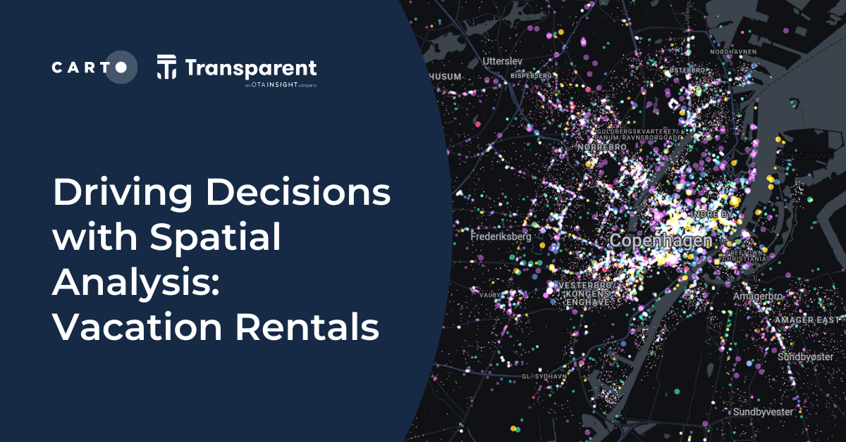

Driving Decisions with Spatial Analysis: Vacation Rentals
Discover spatial trends in vacation rentals & relationships with land use, ft. tutorials on how to conduct this analysis and use it to drive decision-making.

Map tiles: 5 examples to get started
Learn how to effectively visualize geospatial data with tilesets, including a step-by-step guide and 5 examples to inspire you!

Towards a Carbon Neutral Future with CARTO & NetCarbon
Discover how NetCarbon, winners of Planet’s Copernicus Masters competition, leverages CARTO to tackle climate change with scalable satellite data solutions.
.png)
Spatial Spotlights: Introducing Weekly Geospatial Webinars!
Expand your spatial knowledge with Spatial Spotlights, weekly 15-minute webinars with CARTO experts sharing tips, tricks & best practices.

Academy

3 ways Location Intelligence is changing outdoor advertising
See how leading OOH companies use cloud-native spatial analytics and AI to move beyond impression counts and prove campaign ROI.
CARTO & Snowflake: Location Intelligence for Energy and Utilities
CARTO and Snowflake expanding cloud-native Location Intelligence for Energy and Utility organizations, unifying IoT data for resilient operations.
How to get your colleagues and clients excited about geospatial
A practical guide to building internal buy-in for geospatial, with tips on making the case to non-technical colleagues and leaders, speaking the right language.

