


CARTO & Snowflake: Location Intelligence for Energy and Utilities
CARTO and Snowflake expanding cloud-native Location Intelligence for Energy and Utility organizations, unifying IoT data for resilient operations.


.png)

Women in STEM: reflections & advice from CARTO's experts
To mark Women in STEM day 2023, we interviewed experts across CARTO to hear advice and reflections on a career in STEM.


Meet CARTO at Mobile World Congress 2023
We're excited to be attending Mobile World Congress 2023 in Barcelona! Join us to find out how we're helping Telco companies turn data into insight.
.png)

Calculating Routes at Scale using SQL on BigQuery
A guide to route optimization using Google BigQuery, a cloud-native & scalable alternative to PgRouting & Network Analyst.


Why use Data Warehouses for Geospatial Analysis
Why use BigQuery, Snowflake, Redshift & Databricks for geospatial analysis? Explore with a real-life example.
.png)
Map Tiles: Everything You Need To Know
An introduction to map tiles: a method for visualizing big spatial data, including a guide for generating map tiles with Spatial SQL.

CARTO Workflows are here: no code spatial analysis
Introducing CARTO Workflows - a no code tool for processing and analyzing spatial data! Unlock spatial analysis without needing to know SQL or Python.


What's New in CARTO - Q4 2022
Announcing our latest release of CARTO cloud-native features for Q4 2022.

22 of the best maps, visualizations & analysis from 2022
A round-up of some of our favorite pieces of analysis, maps and visualizations using CARTO from 2022 in areas including retail, transport, climate & more!

3 ways to load geospatial data into Redshift
Looking to load geospatial data into Amazon Redshift? Find out how to do this using Python, GDAL, Airbyte & dbt.
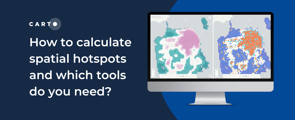
How to calculate spatial hotspots and which tools do you need?
A comparison of the main spatial hotspot tools and which is best for your use case, including a guide on how to use and interpret these.


CARTO for CPG - Integrated Spatial Analytics for Consumer Brands
Spatial analytics & data to drive better CPG trade marketing & channel expansion strategies.

Tableau vs Power BI: Why you should stop using them for spatial analysis
Tableau vs Power BI: why these tools aren’t optimal for spatial analysis. Explore limitations & find solutions for handling complex geospatial data effectively.

Academy

3 ways Location Intelligence is changing outdoor advertising
See how leading OOH companies use cloud-native spatial analytics and AI to move beyond impression counts and prove campaign ROI.
CARTO & Snowflake: Location Intelligence for Energy and Utilities
CARTO and Snowflake expanding cloud-native Location Intelligence for Energy and Utility organizations, unifying IoT data for resilient operations.
How to get your colleagues and clients excited about geospatial
A practical guide to building internal buy-in for geospatial, with tips on making the case to non-technical colleagues and leaders, speaking the right language.

