


CARTO & Snowflake: Location Intelligence for Energy and Utilities
CARTO and Snowflake expanding cloud-native Location Intelligence for Energy and Utility organizations, unifying IoT data for resilient operations.


What's New in CARTO - Q1 2022
We’ve been busy at CARTO in Q1! Learn about the CARTO platform and product updates we made throughout Q1.


CARTO Self Hosted on Kubernetes in Partnership with VMware
Data Governance is becoming a priority for many enterprise organizations. See how CARTO Self Hosted on Kubernetes works with VMware.


What You Should Know About Spatial SQL
“Spatial SQL is a rising star in spatial analysis, and for good reason. Learn about the advantages of learning and using Spatial SQL here.”


Introducing GeoParquet: Towards geospatial compatibility between Data Clouds
At CARTO, we're proud to release the first community proposal to standardize the storage of geospatial vector data in GeoParquet! Learn about our full goal.
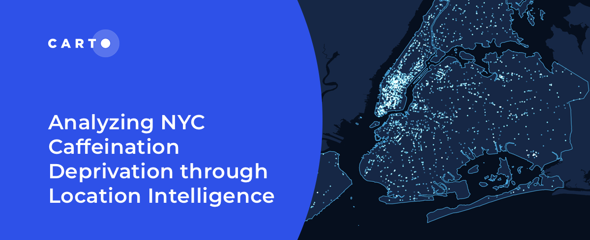

Analyzing NYC Caffeine Deprivation through Location Intelligence
“Curious about the number of coffee shops in NYC? Join us as we investigate the spatial patterns of coffee shops across the city."

International Women’s Day: Mapping Financial Inequality by Gender
“For International Women’s Day 2022, CARTO uses location intelligence to analyze financial inequality between gender in different countries. "


Determine Optimal Store Locations using White Space Analysis
How do you determine where to open a new retail location? Discover how to use White Space Analysis & Spatial Data to make more informed decisions.

How T-Mobile Uses Spatial Data to Improve Network Planning
“How can spatial data solve challenges for Telecom? Discover how CARTO has helped T-Mobile improve network planning & internal operations. "

Geospatial Analytics & AWS: CARTO's Spatial Analytics in Redshift
We are excited to announce CARTO's Spatial Analytics in Redshift. Discover how to leverage the geospatial capabilities of Redshift & sign up for a free trial today!


Can Kanye West Save Gap? What Maps & Location Data Reveals
Kanye West's partnership with Gap generated a lot of buzz but how has it affected in store sales & visitation? Find out using maps & behavioral spatial data.


dataPlor's International POI Data now available in CARTO
We are pleased to announce our new partnership with dataPlor, experts in international POI data, & the addition of their data to our Data Observatory.


Data Driven Marketing with CARTO for OOH Advertising
Today we announce the availability of CARTO for OOH Advertising, an exciting new solution for outdoor media owners, planners, & advertising agencies–learn more

Academy

3 ways Location Intelligence is changing outdoor advertising
See how leading OOH companies use cloud-native spatial analytics and AI to move beyond impression counts and prove campaign ROI.
CARTO & Snowflake: Location Intelligence for Energy and Utilities
CARTO and Snowflake expanding cloud-native Location Intelligence for Energy and Utility organizations, unifying IoT data for resilient operations.
How to get your colleagues and clients excited about geospatial
A practical guide to building internal buy-in for geospatial, with tips on making the case to non-technical colleagues and leaders, speaking the right language.

