


CARTO & Snowflake: Location Intelligence for Energy and Utilities
CARTO and Snowflake expanding cloud-native Location Intelligence for Energy and Utility organizations, unifying IoT data for resilient operations.


Faster, Stronger Smart Cities with Location Intelligence
The market for “Smart Cities” solutions is expected to more than double over the next five years, from $308bn in 2018 to $717bn in 2023. With growth driving greater innovation …

Faster, Stronger Smart Cities with Location Intelligence
The proliferation of Location Intelligence solutions is a big part of Smart Cities growth. Cities uniquely benefit from a deeper understanding of 'where,' in areas from disaster relief and health services, to traffic optimization, and more.
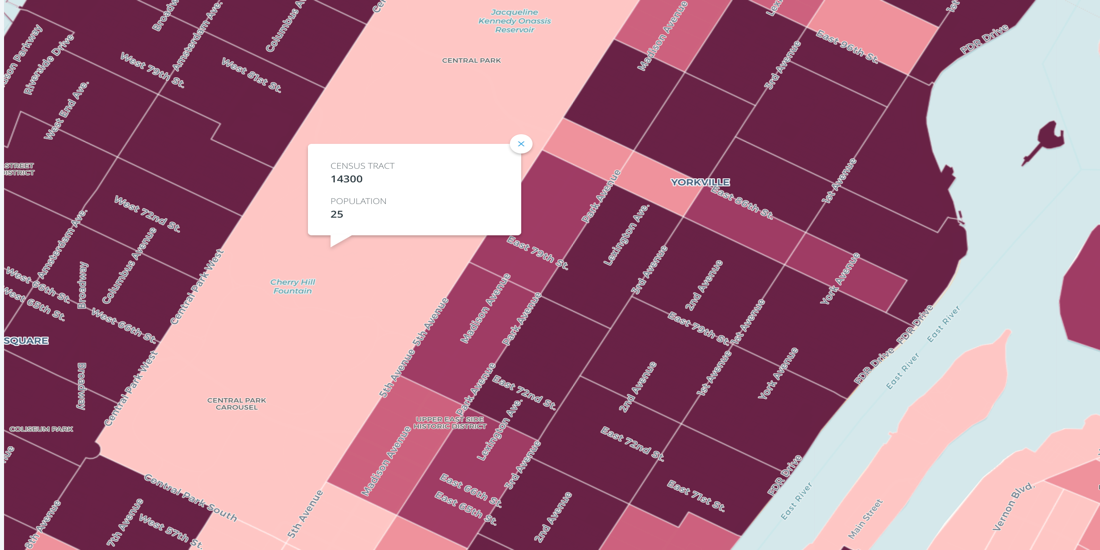

Census Oddities
Uncover Census Oddities: Learn tips to navigate unexpected quirks in U.S. Census data, from shifting boundaries to population gaps. Avoid pitfalls now.

Mobile Data 101: Challenges and Best Practices
Understand the challenges and best practices for effectively using GPS and Telco data.
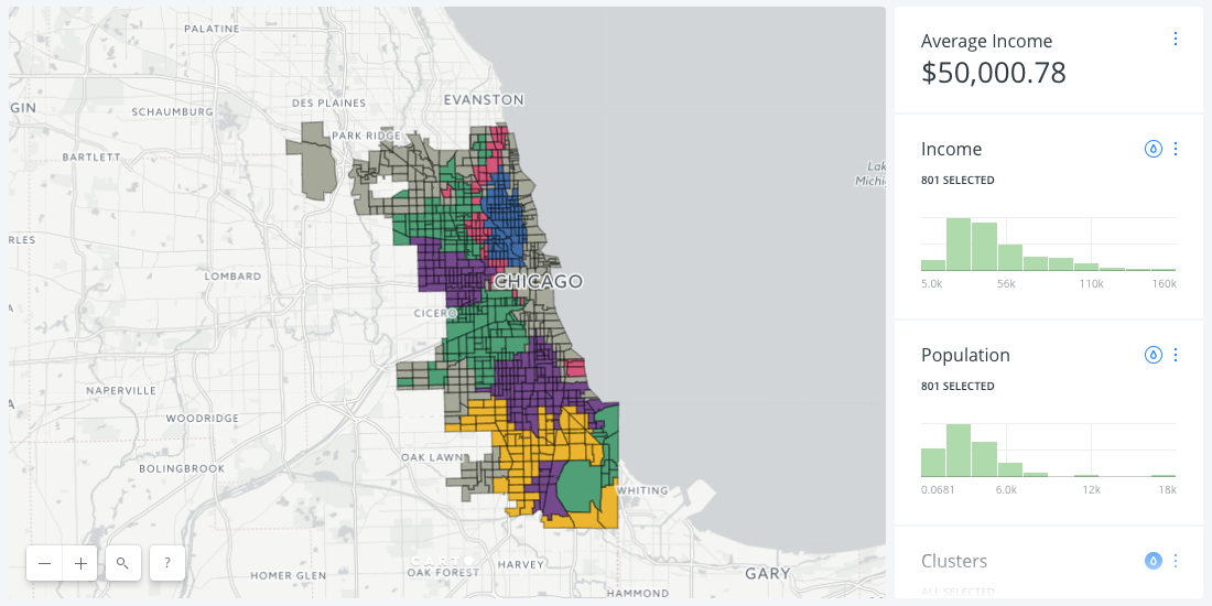
A New Approach to Customer Segmentation Using Location Data
Discover effective customer segmentation strategies using location data. Learn how to target the right audience for sales & marketing success. Try for free.

Examining Potential Impact of H-1B Reform with Data Visualizations
USCIS started accepting 2018 H-1B Visa applications in 2017. Explore potential impacts of the proposed H.R.670 bill on the tech industry and American economy.

CARTO is now part of the Github Student Developer Pack!
CARTO is now part of the Github Student Developer Pack! Empowering student developers with cutting-edge location intelligence tools.

How The New York City Mayor’s Office takes a real-time pulse of the city with its interactive dashboard

5 Things You Can’t Miss at #MWC17
Discover must-see events at MWC 2017, from new tech showcases to expert-led sessions. Explore how mobile and location intelligence are shaping the future.
Spreading Location Intelligence all around the world
Thanks to our Partners for a year of growth in location intelligence! Join our network, explore projects, and anticipate more in 2017. Happy Data Mapping!


Academy

3 ways Location Intelligence is changing outdoor advertising
See how leading OOH companies use cloud-native spatial analytics and AI to move beyond impression counts and prove campaign ROI.
CARTO & Snowflake: Location Intelligence for Energy and Utilities
CARTO and Snowflake expanding cloud-native Location Intelligence for Energy and Utility organizations, unifying IoT data for resilient operations.

How to get your colleagues and clients excited about geospatial
A practical guide to building internal buy-in for geospatial, with tips on making the case to non-technical colleagues and leaders, speaking the right language.

