


CARTO & Snowflake: Location Intelligence for Energy and Utilities
CARTO and Snowflake expanding cloud-native Location Intelligence for Energy and Utility organizations, unifying IoT data for resilient operations.


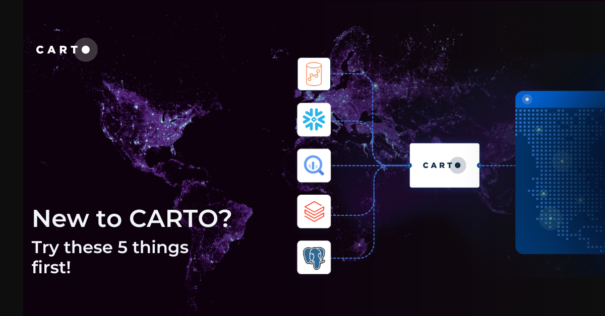

New to CARTO? Try these 5 things first!
New to CARTO? Discover the first 5 things to try, from running a cloud-native spatial analysis to creating your first map.


What being “cloud-native” should really mean for your spatial data
What does it mean to be truly cloud-native? Enhance security, eliminate data silos & redundancy, and revolutionize your geospatial workflows with CARTO.

The State of Spatial Data Science 2024 - get your free copy!
Download your FREE copy of The State of Spatial Data Science 2024; stay ahead with insights on AI, cloud integration, GIS, climate impact & more!

What's New in CARTO - Q2 2024
Explore the latest CARTO platform features unveiled in Q2 2024! Working with external APIs, raster data, the new developer space - and more!

Introducing CARTO Heatmaps for Big Data Visualization
Enhance your big data visualization with CARTO's heatmap style! Learn how to impactful, large-scale heatmaps with this guide.


10 Examples of Spatial Data & Visualizations for Telecom Analytics
Explore 10 maps using CARTO's cloud-native platform and spatial data for telecom analytics to enhance network optimization, coverage, and customer satisfaction.


Enhancing geospatial analytics with CARTO & Databricks
Unlock advanced spatial analysis in Databricks with CARTO’s Analytics Toolbox. Visualize & analyze large geospatial data inside your data warehouse.


Understanding flood risk at scale with Fathom’s new Risk Scores
Fathom's Flooding Risk Scores now available on the cloud with CARTO! Make more intelligent decisions for insurance, financial services & engineering.

Smarter Investment Decisions for Workspace Providers: The Instant Group
Make smarter investment decisions for flexible workspace with The Instant Group’s Coworkintel platform, powered CARTO.


Democratizing Spatial Analysis with Raster Data on the Cloud
Discover CARTO's vision for democratizing spatial analysis by making raster data accessible on the cloud & learn about upcoming initiatives.


Recap of SDSC24: Climate Change, Geo AI & CARTO AI Agents!
Recap of #SDSC24’s main themes featuring highlights from CARTO’s keynote like new AI agents, new analytics toolbox, and the launch of Raster Parquet!


New CARTO Boundaries for faster visualizations in spatial apps
Announcing CARTO Boundaries for faster spatial app visualizations! Join data with pre-generated vector tilesets for efficient processing.

Academy
3 ways Location Intelligence is changing outdoor advertising
See how leading OOH companies use cloud-native spatial analytics and AI to move beyond impression counts and prove campaign ROI.
CARTO & Snowflake: Location Intelligence for Energy and Utilities
CARTO and Snowflake expanding cloud-native Location Intelligence for Energy and Utility organizations, unifying IoT data for resilient operations.
How to get your colleagues and clients excited about geospatial
A practical guide to building internal buy-in for geospatial, with tips on making the case to non-technical colleagues and leaders, speaking the right language.

