

Use cases
.png)


Venue Suitability Analysis for the Eurovision Song Contest with CARTO
How to use Location Intelligence to pick the optimal venue for the UK's Eurovision Song contest with CARTO

Sistema.bio's Story: Optimizing field operations with CARTO
Understand how Sistema.bio is using CARTO to manage and plan their field operations to bring their sustainable biodigester to the world’s smallholders.

COVID, mapped: The analytics behind an epidemic
CARTO teams up with ZOE to analyze & predict the spatial patterns of COVID-19to develop a blueprint for understanding the spatial patterns of an epidemic.

Super Charged Site Selection for Electric Vehicles
CARTO partners with CITD to understand how Location Intelligence can be used to drive stronger return on investment for Electric Vehicle charging stations.


Using Spatial Analysis for 5G Rollout
Spatial analysis plays a key role in the successful deployment of 5G networks. Learn about its importance & explore how Location Intelligence is used.

Spatial Data Monetization Guide: 3 Tips for Success
Wondering if you should offer data as a product? Read this spatial data monetization guide. It includes 3 tips for developing a data monetization strategy.

5 Reasons Why OOH Professionals Are Turning to Location Intelligence
“More people in OOH advertising are incorporating GIS & location intelligence data into their media planning. Discover 5 advantages of making data-driven campaigns.”

Closing the Equity Gap with Spatial Analysis
“See how spatial analysis can be used to determine & visualize where access to resources is equitable & inequitable so we can start closing the U.S. equity gap.”
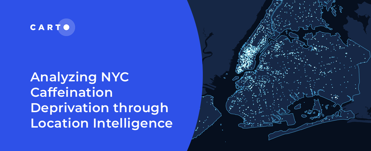
Analyzing NYC Caffeine Deprivation through Location Intelligence
“Curious about the number of coffee shops in NYC? Join us as we investigate the spatial patterns of coffee shops across the city."

International Women’s Day: Mapping Financial Inequality by Gender
“For International Women’s Day 2022, CARTO uses location intelligence to analyze financial inequality between gender in different countries. "

How T-Mobile Uses Spatial Data to Improve Network Planning
“How can spatial data solve challenges for Telecom? Discover how CARTO has helped T-Mobile improve network planning & internal operations. "


Can Kanye West Save Gap? What Maps & Location Data Reveals
Kanye West's partnership with Gap generated a lot of buzz but how has it affected in store sales & visitation? Find out using maps & behavioral spatial data.

Academy

The State of Spatial Analytics 2026 - Register interest!
Key findings from the survey reveal major changes since 2024. Register interest now and get early access to the State of Spatial Analytics 2026 Report.


What is Agentic GIS?
Discover Agentic GIS: AI-powered spatial analysis that automates workflows, amplifies GIS expertise, and delivers actionable geospatial insights.
Geospatial Sovereignty in the Age of AI: A Layered Approach
Geospatial sovereignty in the AI era: why open formats, flexible compute, and interoperable standards are key to resilient, independent digital infrastructure.