

Use cases
.png)


Supply Chain Network Optimization: SEUR Case Study
A look at how Spatial Analysis & Location Data can provide the tools & techniques for Supply Chain Network Optimization


COVID-19 Inequality: A Focus on Brazil Coronavirus Maps
With Brazil Coronavirus cases soaring we take a look at the importance of using maps as an awareness tool to ensure an appropriate response.


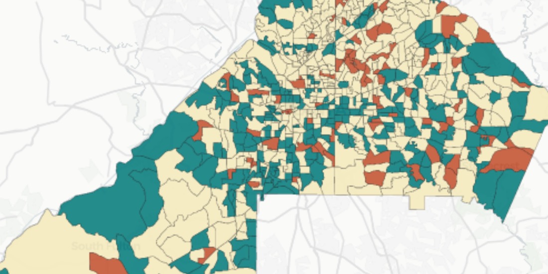
Identifying Walk to Work Hotspots in London
We explore Howsy's research on walk to work rental hotspots across London, with consumers looking to ditch mass transit as they look to change their new normal commute.

US Protest Map & Visualizing Police Violence
Using Spatial Analysis to analyze & visualize Location Data relating to the recent protests & police violence in the US including a protest map.

City Pedestrianization & Micromobility Post COVID-19
To enable safe social distancing cities are pedestrianizing urban areas & building infrastructure for greener transportation & micromobility. Discover how location data can help.

GIS Indoor Mapping: Workplace Social Distancing
We explore how GIS Indoor Mapping Software can help organizations on their return to work, ensuring best practice in social distancing & contact tracing.

HIPAA Compliance in Geospatial Healthcare Analytics
Read how HIPAA compliance is maintained across the CARTO platform & about key use cases for customers working in the healthcare space.
Using Spatial Data in Retail Analytics Post COVID-19
A look at how spatial analysis & new data streams such as telco & credit card data can provide insights in a return to retail post COVID-19.

Acquiring New Customers with Geomarketing for Online Retailers
Learn more about Geometric, a Geomarketing solution for Online Retailers made by Anagraph & their work creating COVID-19 dashboards for Canada.
Assessing Potential Impact of COVID-19 on Rural Communities
Read how the Center on Rural Innovation & others used CARTO to determine which rural communities in the US are in need of greater support against COVID-19.

OOH Bounce Back: 2020 Predictions
A look at the impact of COVID-19 on OOH & how geospatial solutions can be used in the post pandemic recovery of the industry.

Location Analytics: A Roadmap to Post COVID-19
Everyone has the same question: when will we return to normal? Spatial analysis has helped immensely to contain the spread, now how will it help us recover?

Academy


What is Agentic GIS?
Discover Agentic GIS: AI-powered spatial analysis that automates workflows, amplifies GIS expertise, and delivers actionable geospatial insights.
Geospatial Sovereignty in the Age of AI: A Layered Approach
Geospatial sovereignty in the AI era: why open formats, flexible compute, and interoperable standards are key to resilient, independent digital infrastructure.

The Changing Role of the GIS Analyst
Discover how GIS Analysts are evolving from map makers to strategic AI-driven experts shaping enterprise decision-making with cloud-native tools.