


CARTO & Snowflake: Location Intelligence for Energy and Utilities
CARTO and Snowflake expanding cloud-native Location Intelligence for Energy and Utility organizations, unifying IoT data for resilient operations.


Echo Analytics’ Geospatial Data now available in CARTO
Introducing Echo Analytics' data - now available in CARTO. We explore example use cases of their POI, building and mobility data.
.gif)

A Guide To Using GTFS Data
The General Transit Feed Specification - or GTFS - is a specification for transit data. Use GTFS data for transit analysis & map visualization. Free tutorial.
.png)

New to CARTO: Gloval Analytics’ housing data
See Gloval Analytics' data from CARTO's Data Observatory in action, including real estate, energy performance and environmental risk use cases
.png)

CARTO Achieves Google Cloud Ready - BigQuery Designation
We’re excited to announce that CARTO has successfully achieved Google Cloud Ready - BigQuery Designation.
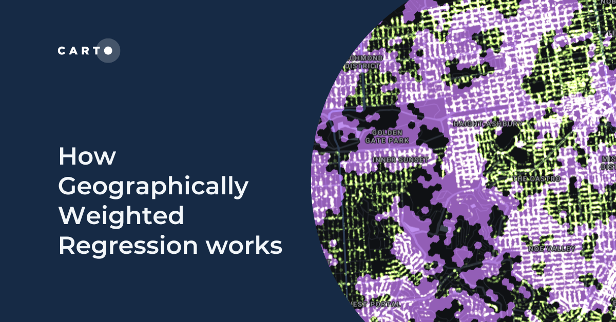
How Geographically Weighted Regression works
Find out what Geographically Weighted Regression (GWR) is, how it works, when to use it & how to use spatial indexes in conjunction.
.png)
How To Optimize Location Planning For Wind Turbines
Optimize wind farm locations with our guide on location planning for wind turbines. Explore criteria, spatial analysis, and use CARTO for a free trial.
.png)

Risk assessment solutions for Insurance - CARTO & g-Xperts
Learn how g-Xperts have worked with CARTO to develop a series of cloud-native geospatial applications, including an advanced risk exposure solution.


Get started with spatial at the Spatial Data Science Bootcamps
Missed the first Spatial Data Science Bootcamp in London? Here’s a recap of the event and information about future events.
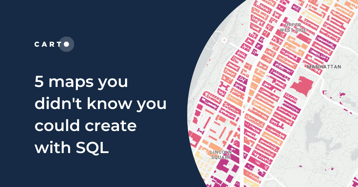
5 maps you didn't know you could create with SQL
Did you know you can use Spatial SQL to create amazing maps and data visualizations? Learn how with these five examples.


Raster data in BigQuery: Unlock new forms of spatial analysis
Learn how to combine your vector and raster-based analytics in the cloud for extra insights and new types of analysis.
.png)
How to use Location Intelligence to grow London's brunch scene
How to use Location Intelligence tools to establish new opportunities for specific restaurant types, based on geosegmentation and catchment areas.
.png)
Finding that Spatial someone: using analytics to find love
What role does location play in dating apps? This guide shares how spatial analysis can be used to optimize dating apps with real examples.

Academy

3 ways Location Intelligence is changing outdoor advertising
See how leading OOH companies use cloud-native spatial analytics and AI to move beyond impression counts and prove campaign ROI.
CARTO & Snowflake: Location Intelligence for Energy and Utilities
CARTO and Snowflake expanding cloud-native Location Intelligence for Energy and Utility organizations, unifying IoT data for resilient operations.
How to get your colleagues and clients excited about geospatial
A practical guide to building internal buy-in for geospatial, with tips on making the case to non-technical colleagues and leaders, speaking the right language.

