.png)


The Changing Role of the GIS Analyst
Discover how GIS Analysts are evolving from map makers to strategic AI-driven experts shaping enterprise decision-making with cloud-native tools.

.png)
Snowflake Summit 2025 - highlights for geospatial
Discover top geospatial highlights from Snowflake Summit 2025 -from AI to open formats -shaping the future of cloud-native spatial analytics.

From selection to consolidation: 6 ways to optimize site planning
Optimize site planning with data, AI, and real-time insights. Discover 6 of the best strategies in this expert guide from CARTO.


Foundation Models: Transforming the Future of Spatial Analytics
Explore how geospatial foundation models like Google’s PDFM are revolutionizing spatial analytics, from disaster response to urban planning with CARTO.

Geo for the Agentic Era: Highlights from #SDSC25 London
Explore how AI, open data, and scalable geospatial tech are redefining GIS at #SDSC25 London. Catch highlights, keynotes, and sessions on demand.


How Iceberg, GeoParquet & CARTO are reshaping geospatial
Discover how GeoParquet, Iceberg, and CARTO are transforming geospatial analytics with cloud-native, scalable, and open data architectures.
.png)

Live maps with automated Workflows integrations are here
Create live, always-updated maps with CARTO by integrating Workflows and Builder. Automate geospatial analysis to visualization in one step.
.png)

Introducing User Comments: boost collaboration in your maps
Boost team collaboration with User Comments in CARTO Builder—add, track, and resolve feedback directly on your enterprise maps.


Navigate global risk with MBI CONIAS Political Risk data
Monitor and forecast global political risks with MBI CONIAS data - spatial, predictive, and ready to support smarter decisions in volatile regions.
.jpg)


Maps with a Mission: Environmental Impact with Spatial Analytics
Let’s dive into how organizations use CARTO to protect biodiversity, advance climate research, manage natural resources, and drive sustainable decision-making.

Google Cloud Next 2025: Key takeaways for geospatial
Discover key geospatial insights from Google Cloud Next 2025 - AI, low-code tools, Earth Engine, and more innovations shaping the future of location tech.

.jpg)
KASPR Datahaus Cyber Intelligence data now available in CARTO!
Announcing KASPR's global cyber intelligence data - now in CARTO! Monitor internet performance, optimize networks & drive smarter geospatial decisions.


What's New in CARTO - Q1 2025
Announcing the latest new features in the CARTO platform from Q1 2025! AI Agents, cloud-native raster, QGIS integrations - and more!

Academy
The Changing Role of the GIS Analyst
Discover how GIS Analysts are evolving from map makers to strategic AI-driven experts shaping enterprise decision-making with cloud-native tools.
Unlock planetary-scale insights with CARTO & Google Earth AI
Learn how CARTO & Google Earth AI make planetary-scale insights accessible with foundation models & Agentic GIS.

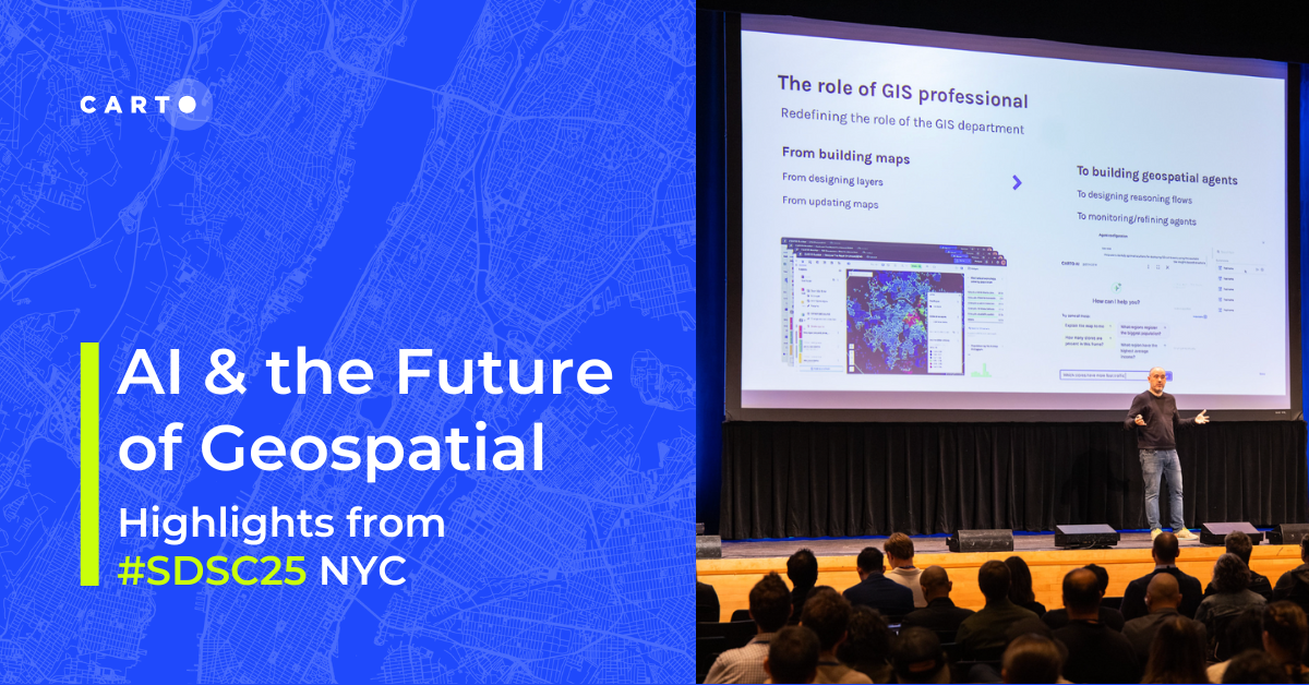
AI & the Future of Geospatial: Highlights from #SDSC25
AI and Agentic GIS are revolutionizing spatial analytics. Discover innovations, insights, and trends shaping the future from #SDSC25 New York.
.png)