

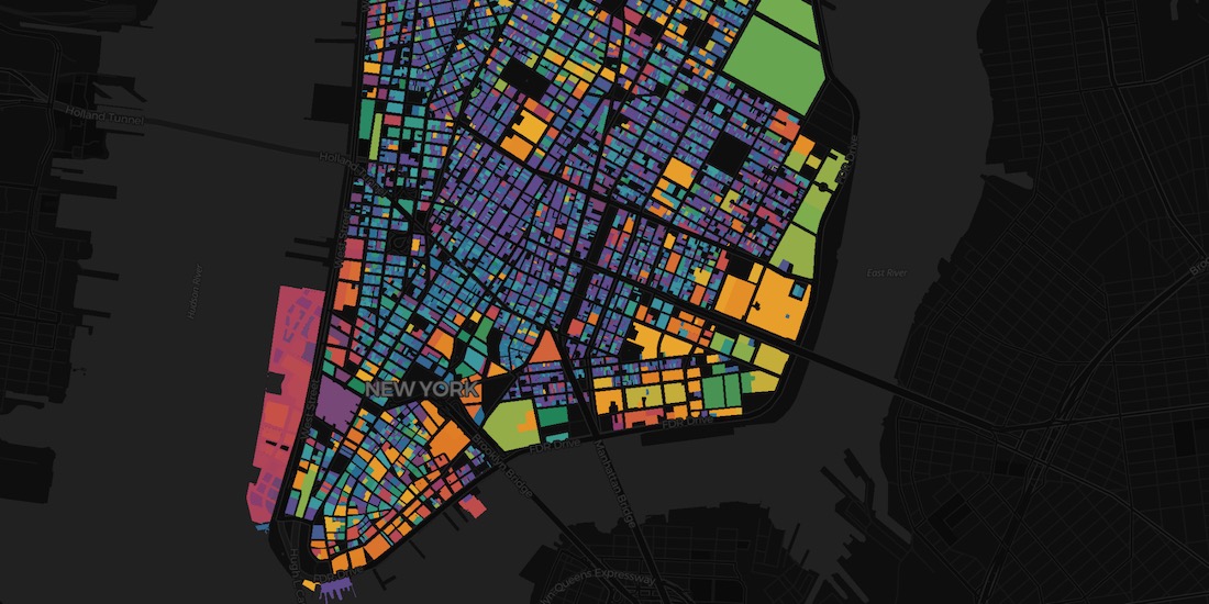
Spatial Data
.png)

.jpg)


Foursquare POI & Foot Traffic Data now available in CARTO
We are pleased to announce our partnership with Foursquare, leaders in location technology, & the inclusion of its POI & foot traffic data in our Data Observatory


Lifesight Human Mobility & Footfall Data now available in CARTO
We are pleased to announce our partnership with Lifesight, a leader in human mobility, & the inclusion of their data in our Data Observatory

Short Term Rental Data from Transparent now available in CARTO
We are pleased to announce our partnership with Transparent, a leader in short-term rental intelligence, & the inclusion of their data in our Data Observatory

Spatial Features, the new derived dataset from CARTO
We are excited to announce the release of our first derivative data product providing global demographic data & POI aggregations by category.


Data Monetization: A Complimentary Guide for Enterprise
Download our data monetization guide on how to transform big data into a viable product. See how leading enterprise CDO / CTOs from Vodafone & Mastercard do it.

Data Observatory: Thousands of Spatial Datasets On Demand
We are excited to announce a new release of CARTO's Data Observatory giving users the ability to explore, subscribe, & manage thousands of spatial datasets.

Dstillery Behavioral Spatial Data available in CARTO's Data Observatory
Dstillery's Behavioral Spatial Data is available through CARTO's Data Observatory to provide market segmentation & geomarketing insights.

Experian's WorldView Spatial Data available in CARTO's Data Observatory
Experian's WorldView Spatial Data is available through CARTO's Data Observatory to provide socio-demographic & consumer spending insights

ATTOM in CARTO: School District Boundary Maps
School District Boundary Data from ATTOM Data Solutions is now available within our Data Observatory for use in your models & spatial analyses
Raster vs Vector Maps: What's the Difference & Which are Best?
A look at the key differences of raster vs vector maps for geospatial data visualization, advantages & disadvantages of each, & which are the best.


MBI's global spatial data available in CARTO's Data Observatory
Michael Bauer International's wide range of spatial data is available through CARTO's Data Observatory to provide socio demographic insights & digital boundaries.


How to use COVID-19 Public Data in Spatial Analysis
A walkthrough of how to use publicly available COVID-19 data sets for spatial analysis using CARTOframes and our Data Observatory.

Academy


CARTO & Snowflake: Location Intelligence for Energy and Utilities
CARTO and Snowflake expanding cloud-native Location Intelligence for Energy and Utility organizations, unifying IoT data for resilient operations.

How to get your colleagues and clients excited about geospatial
A practical guide to building internal buy-in for geospatial, with tips on making the case to non-technical colleagues and leaders, speaking the right language.
Nagarro & CARTO: Advancing Enterprise AI Transformation
CARTO and Nagarro partner to help enterprises move AI from pilots to production, embedding Location Intelligence into existing workflows and systems.