


Turning Geospatial Foundation Models into Decisions using CARTO Workflows
CARTO now lets you run analytics directly on geospatial foundation model embeddings. Visualize, cluster, and detect changes to turn spatial data into decisions.


Cannibalization Analysis: what is it & how can I use it?
Balance competing demands between multiple business locations with our 4-step guide to Cannibalization Analysis: from data collection to decision!


Boosting Retail & CPG Sales with Sentiment Analysis
Leverage sentiment analysis for retail growth. Explore Data Appeal's insights, using sentiment data for strategic business expansion. Free 14-day trial.


Optimizing Site Selection for EV Charging Stations
Optimize EV Charging Site Selection with Spatial Data Science - improve accessibility and convenience, drive revenue, and de-risk growth.


Meet CARTO at Google Next ‘23 in San Francisco
Explore CARTO's cloud-native spatial analytics at Google Next '23 in San Francisco. Join us from Aug 29-31 to witness the power of Location Intelligence!

Spatial interpolation: which technique is best & how to run it
Fix missing or coarse data with Spatial Interpolation. Compare IDW and Kriging methods & follow along with tutorials!
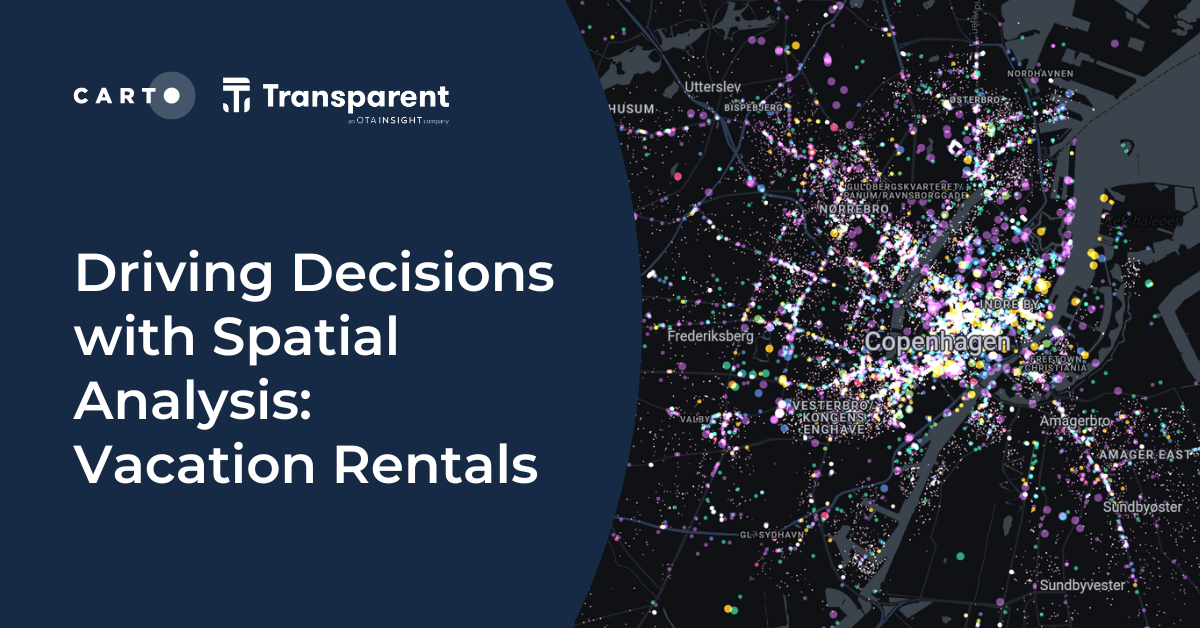

Driving Decisions with Spatial Analysis: Vacation Rentals
Discover spatial trends in vacation rentals & relationships with land use, ft. tutorials on how to conduct this analysis and use it to drive decision-making.

Map tiles: 5 examples to get started
Learn how to effectively visualize geospatial data with tilesets, including a step-by-step guide and 5 examples to inspire you!


Towards a Carbon Neutral Future with CARTO & NetCarbon
Discover how NetCarbon, winners of Planet’s Copernicus Masters competition, leverages CARTO to tackle climate change with scalable satellite data solutions.
.png)
Spatial Spotlights: Introducing Weekly Geospatial Webinars!
Expand your spatial knowledge with Spatial Spotlights, weekly 15-minute webinars with CARTO experts sharing tips, tricks & best practices.


What's New in CARTO - Q2 2023
Announcing the latest new features in the CARTO platform from Q2 2023.

Do you need to code for a career in data?
Exploring the role of coding in data careers | Do you need to learn, and which language is right for you? Low-code, SQL, Python, R, HTML & Javascript.

%20Koronkowski.jpeg)
Boosting International CPG Market Share with Location Intelligence
Unlock Global CPG Growth with Location Intelligence! Overcome challenges, target the right markets, cater to preferences & boost revenue.

Academy
Turning Geospatial Foundation Models into Decisions using CARTO Workflows
CARTO now lets you run analytics directly on geospatial foundation model embeddings. Visualize, cluster, and detect changes to turn spatial data into decisions.

The State of Spatial Analytics 2026 - Register interest!
Key findings from the survey reveal major changes since 2024. Register interest now and get early access to the State of Spatial Analytics 2026 Report.

What is Agentic GIS?
Discover Agentic GIS: AI-powered spatial analysis that automates workflows, amplifies GIS expertise, and delivers actionable geospatial insights.

.png)