

.jpg)


What’s new in CARTO - Q4 2025
Discover what’s new in CARTO Q4 2025, including Agentic GIS, AI-powered spatial analysis, MCP tools, analytics on embeddings, and enterprise governance updates.


Forrester Includes CARTO Among Location Intelligence Platform Providers In Now Tech Report
CARTO recognized as a leader in Forrester’s Location Intelligence report, highlighting its platform’s advanced spatial capabilities and data-driven decision support.


Stop Using Zip Codes for Geospatial Analysis
Uncover deeper insights beyond ZIP codes with geospatial analysis. Explore the limitations of ZIP codes and discover alternatives for spatial understanding.


Introducing Our Location Data Streams Catalog
Location Data Streams allow you to access both open data and premium data from market leaders.


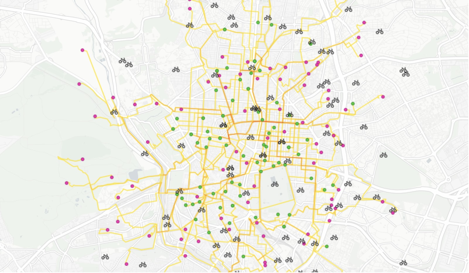

On-demand last mile transportation: Real-time route optimization with Location Intelligence
Discover how spatial analysis enhances last-mile transportation, optimizing routes for efficiency and reducing costs in delivery logistics.


Academy
What’s new in CARTO - Q4 2025
Discover what’s new in CARTO Q4 2025, including Agentic GIS, AI-powered spatial analysis, MCP tools, analytics on embeddings, and enterprise governance updates.

Turning Geospatial Foundation Models into Decisions using CARTO Workflows
CARTO now lets you run analytics directly on geospatial foundation model embeddings. Visualize, cluster, and detect changes to turn spatial data into decisions.

The State of Spatial Analytics 2026 - Register interest!
Key findings from the survey reveal major changes since 2024. Register interest now and get early access to the State of Spatial Analytics 2026 Report.

