

Nagarro & CARTO: Advancing Enterprise AI Transformation
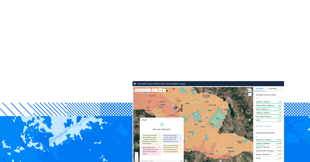
CARTO and Nagarro partner to help enterprises move AI from pilots to production, embedding Location Intelligence into existing workflows and systems.


What's New in CARTO - Q2 2024
Explore the latest CARTO platform features unveiled in Q2 2024! Working with external APIs, raster data, the new developer space - and more!


Introducing CARTO Heatmaps for Big Data Visualization
Enhance your big data visualization with CARTO's heatmap style! Learn how to impactful, large-scale heatmaps with this guide.


10 Examples of Spatial Data & Visualizations for Telecom Analytics
Explore 10 maps using CARTO's cloud-native platform and spatial data for telecom analytics to enhance network optimization, coverage, and customer satisfaction.


Enhancing geospatial analytics with CARTO & Databricks
Unlock advanced spatial analysis in Databricks with CARTO’s Analytics Toolbox. Visualize & analyze large geospatial data inside your data warehouse.


Understanding flood risk at scale with Fathom’s new Risk Scores
Fathom's Flooding Risk Scores now available on the cloud with CARTO! Make more intelligent decisions for insurance, financial services & engineering.


Smarter Investment Decisions for Workspace Providers: The Instant Group
Make smarter investment decisions for flexible workspace with The Instant Group’s Coworkintel platform, powered CARTO.


Democratizing Spatial Analysis with Raster Data on the Cloud
Discover CARTO's vision for democratizing spatial analysis by making raster data accessible on the cloud & learn about upcoming initiatives.


Recap of SDSC24: Climate Change, Geo AI & CARTO AI Agents!
Recap of #SDSC24’s main themes featuring highlights from CARTO’s keynote like new AI agents, new analytics toolbox, and the launch of Raster Parquet!


New CARTO Boundaries for faster visualizations in spatial apps
Announcing CARTO Boundaries for faster spatial app visualizations! Join data with pre-generated vector tilesets for efficient processing.


Build insights at scale with the new CARTO Spatial Features data
Announcing CARTO Spatial Features 3.0! Explore global human activity, night light intensity & telecom infrastructure spatial data.


5 things we’re excited for at SDSC London 2024
Discover the latest in Spatial Data Science at SDSC London 2024! From climate risk management to AI solutions - get your tickets now!


Transforming Data Center Locations for Nautilus Data Technologies
Learn how we are collaborating with Google Cloud to provide Nautilus Data Technologies with an innovative solution for data center site selection and monitoring.
Location intelligence resources straight to your inbox
Subscribe to our latest news, product features and events.

Academy


Nagarro & CARTO: Advancing Enterprise AI Transformation
CARTO and Nagarro partner to help enterprises move AI from pilots to production, embedding Location Intelligence into existing workflows and systems.


Unlock trade-area analysis at scale with H3 Isochrones
Scale travel-time analysis with H3-based isochrones in CARTO. Faster joins, overlap insights, and 96–99% time savings powered by TravelTime.
Geospatial Foundation Models: Workshop Takeaways
Explore the state of geospatial foundation models, from representation learning to population dynamics, with insights from the CARTO & BSC workshop.


.png)
.png)


