


CARTO & Snowflake: Location Intelligence for Energy and Utilities
CARTO and Snowflake expanding cloud-native Location Intelligence for Energy and Utility organizations, unifying IoT data for resilient operations.


Geospatial Sovereignty: Why it requires both Law and Architecture
Unlock true geospatial sovereignty. This guide explains why a modern tech stack is not enough and how to build a legal and governance framework for your data.
.png)
5 best spatial analytics and visualizations of 2025
Discover the best spatial analytics of 2025. Learn how industry leaders use CARTO to analyze historical risk, manage real-time operations, and plan for growth.
.jpg)

What’s new in CARTO - Q4 2025
Discover what’s new in CARTO Q4 2025, including Agentic GIS, AI-powered spatial analysis, MCP tools, analytics on embeddings, and enterprise governance updates.


Turning Geospatial Foundation Models into Decisions using CARTO Workflows
CARTO now lets you run analytics directly on geospatial foundation model embeddings. Visualize, cluster, and detect changes to turn spatial data into decisions.

What is Agentic GIS?
Discover Agentic GIS: AI-powered spatial analysis that automates workflows, amplifies GIS expertise, and delivers actionable geospatial insights.
.png)
Geospatial Sovereignty in the Age of AI: A Layered Approach
Geospatial sovereignty in the AI era: why open formats, flexible compute, and interoperable standards are key to resilient, independent digital infrastructure.
.png)

The Changing Role of the GIS Analyst
Discover how GIS Analysts are evolving from map makers to strategic AI-driven experts shaping enterprise decision-making with cloud-native tools.
.png)
Unlock planetary-scale insights with CARTO & Google Earth AI
Learn how CARTO & Google Earth AI make planetary-scale insights accessible with foundation models & Agentic GIS.
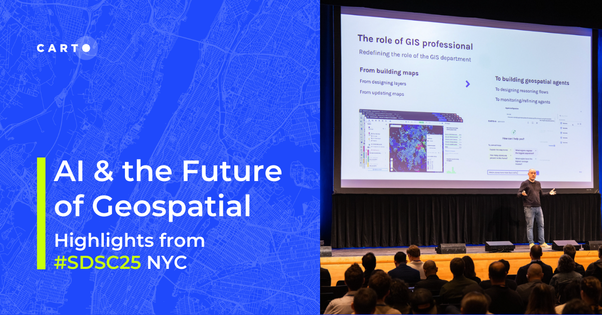
AI & the Future of Geospatial: Highlights from #SDSC25
AI and Agentic GIS are revolutionizing spatial analytics. Discover innovations, insights, and trends shaping the future from #SDSC25 New York.
%20(1).png)
How to build a geospatial AI roadmap (that actually works)
Only 1 in 4 AI projects deliver ROI. Discover a proven 5-step roadmap for scaling geospatial AI - govern data, automate workflows, and unlock Agentic GIS value.
.png)


CARTO MCP Server: turn your AI Agents into geospatial experts
Discover how the CARTO MCP Server lets enterprises connect AI agents like ChatGPT & Gemini to geospatial data and workflows via MCP.
.png)

.jpg)
GERSifying Overture Places: A Seamless Path to Richer Insights
Discover how the GERSification of Overture Maps Foundation data can help you connect open and premium data to speed up analysis and smarter spatial decisions.

Academy

3 ways Location Intelligence is changing outdoor advertising
See how leading OOH companies use cloud-native spatial analytics and AI to move beyond impression counts and prove campaign ROI.
CARTO & Snowflake: Location Intelligence for Energy and Utilities
CARTO and Snowflake expanding cloud-native Location Intelligence for Energy and Utility organizations, unifying IoT data for resilient operations.
How to get your colleagues and clients excited about geospatial
A practical guide to building internal buy-in for geospatial, with tips on making the case to non-technical colleagues and leaders, speaking the right language.

